Tags: Isle Royale, Backpacking, Photography, Minong Ridge, Greenstone Ridge, Lake Superior, Wildflowers, National Parks, Wilderness Travel, Trip Report
Here are my favorite pictures from our six day adventure.
Day 1 - Rock Harbor to McCargoe Cove - Arriving
- From: Rock Harbor, ferry to Copper Harbor
- To: McCargoe Cove
- Miles: 16.3
Day 1 started with a voyage across Lake Superior, feeling as if we were suspended in an afterlife. After arriving in Rock Harbour, we hiked south weaving through ancient Northwoods and foggy bays. We turned into the island’s wilderness and ascended to the island’s high ridges. We finished the day crossing the rest of the island, making our way to a long inlet to rest and see the sky turn periwinkle.
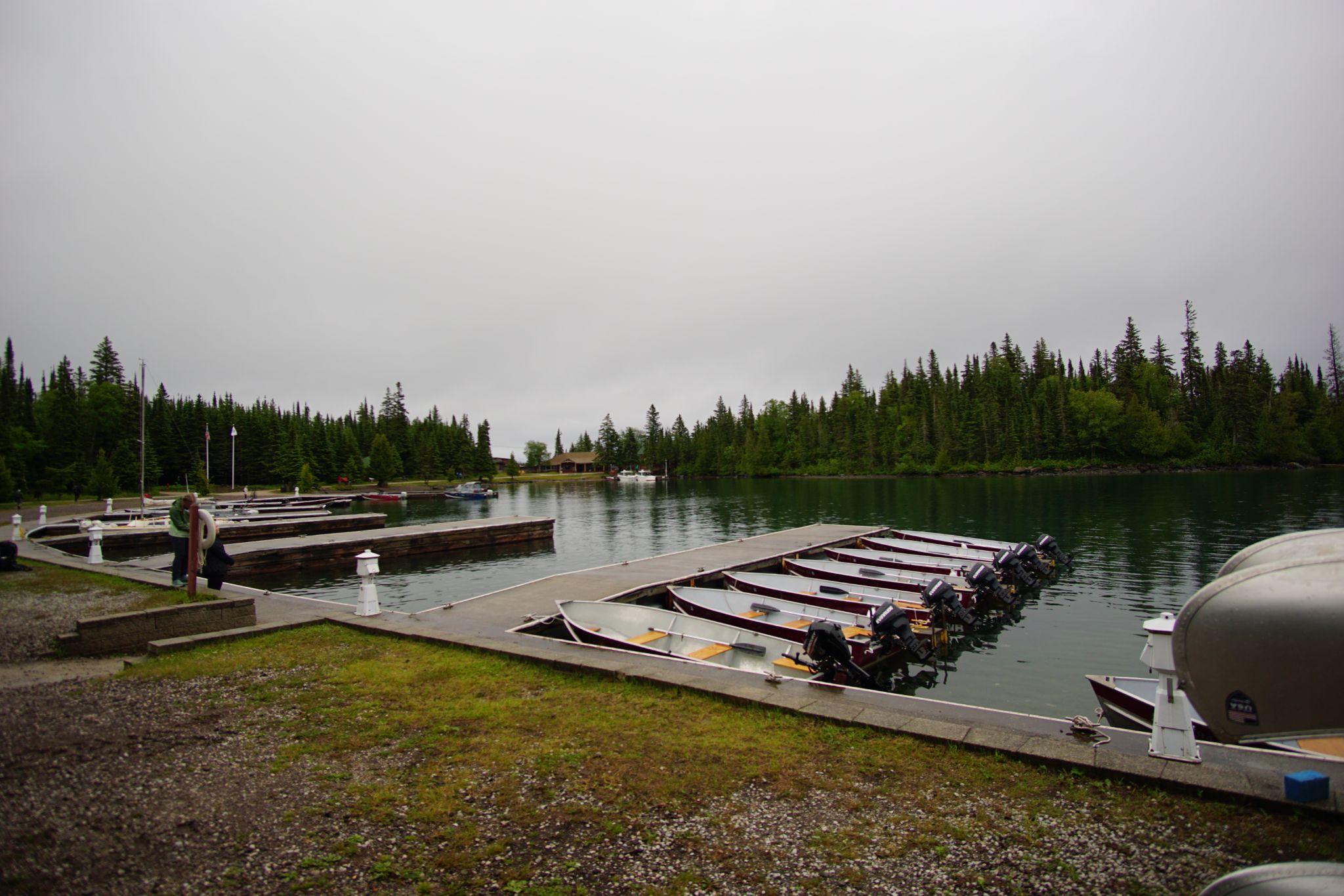
Arriving at Rock Harbor, we logged our plan with the ranger and hiked south.
The beginning of our hike was on a muddy and rocky trail through boreal greenery.
The breeze was hot and humid. The rain drops pattered the harbor.
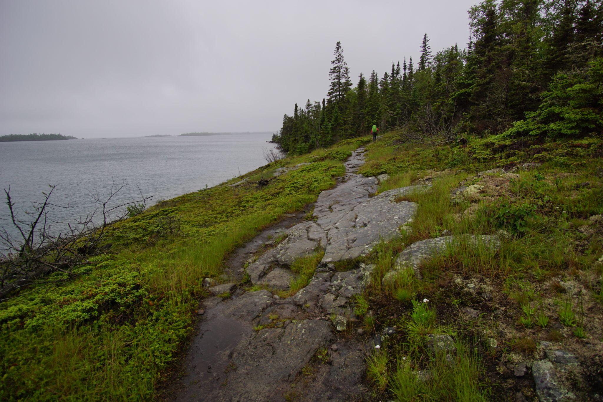
The trail changed as the northwoods were intercepted by alpine. The sky brightened as we bounded over rocks. To my left, the harbor, the outer islands, and Superior. To my right, pines.
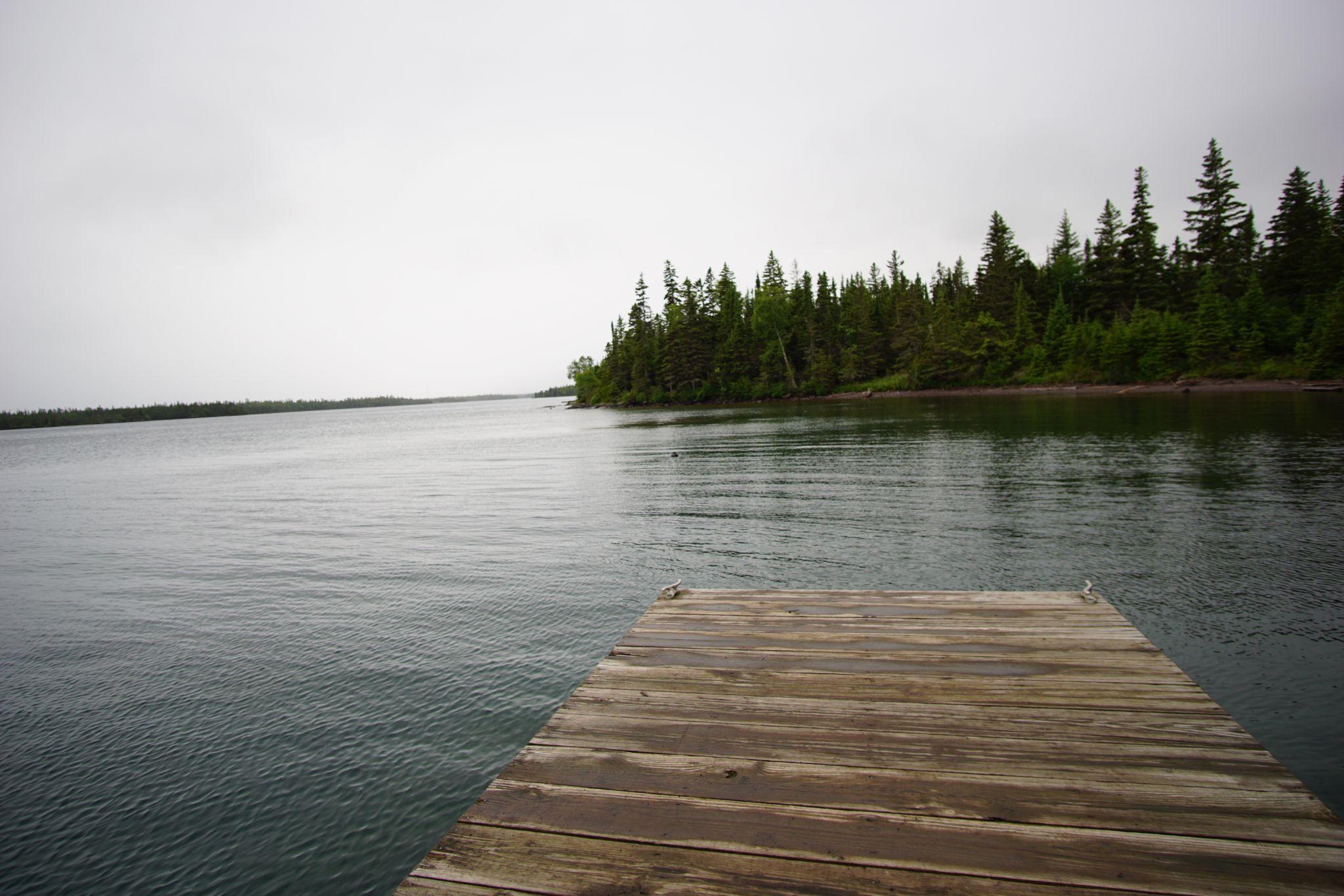
After some time, we took rest on the docks at one of the campgrounds, wood still wet from the rain. Deep blue mixing with the water’s grey.
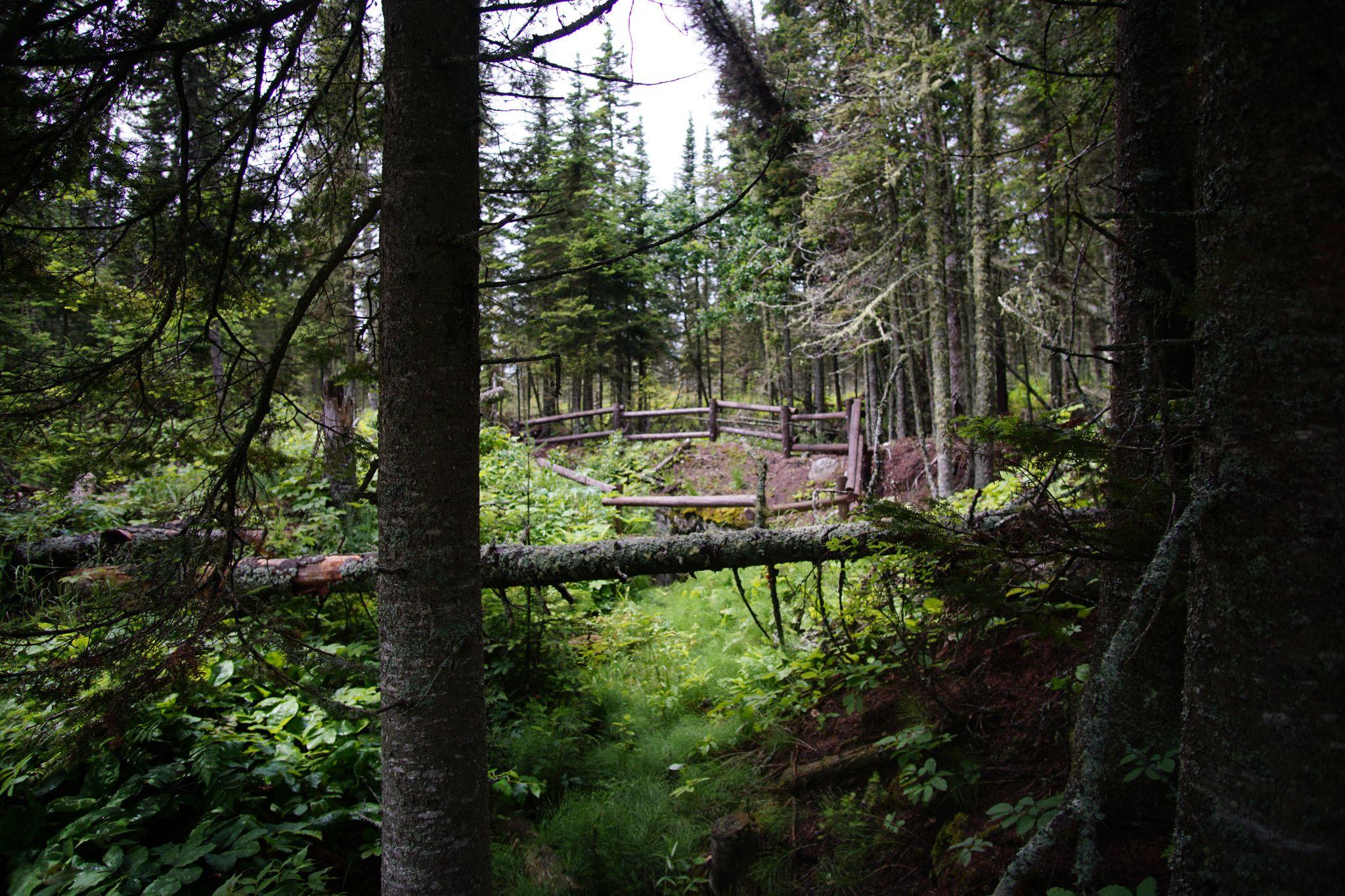
We came across remnants of mining on the Isle and thought about those who lived here and their remote, harsh, simple lives.
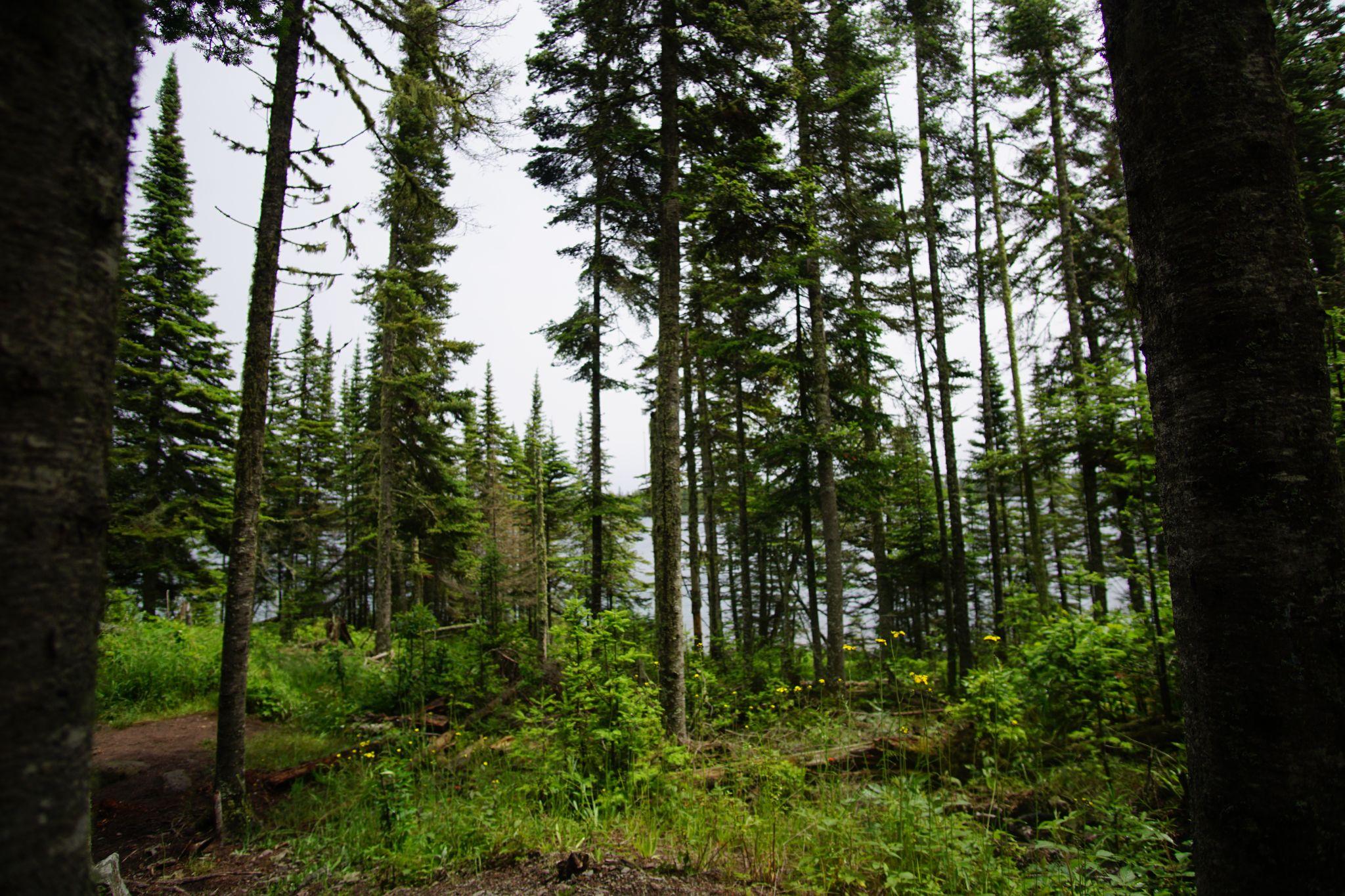
We turned into the interior passing lakes, as we climbed in elevation.
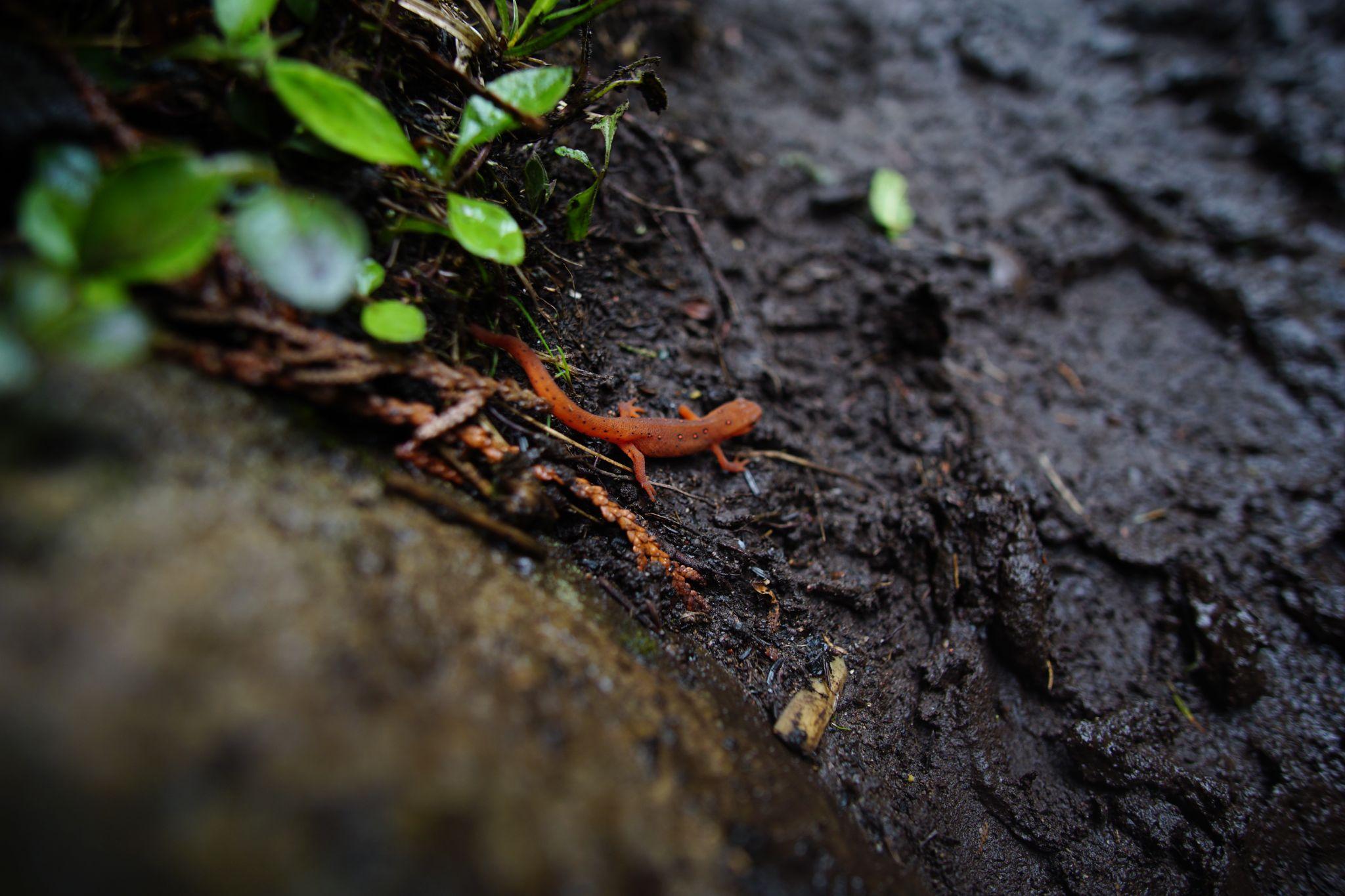
Eastern Newt enjoying the soaked path.
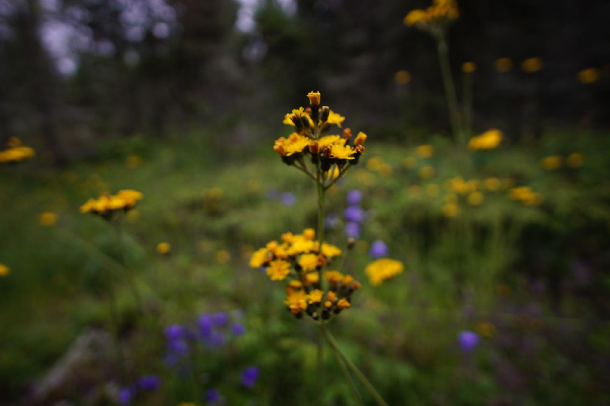
Packera insulae‑regalis - Isle Royale’s endemic flower
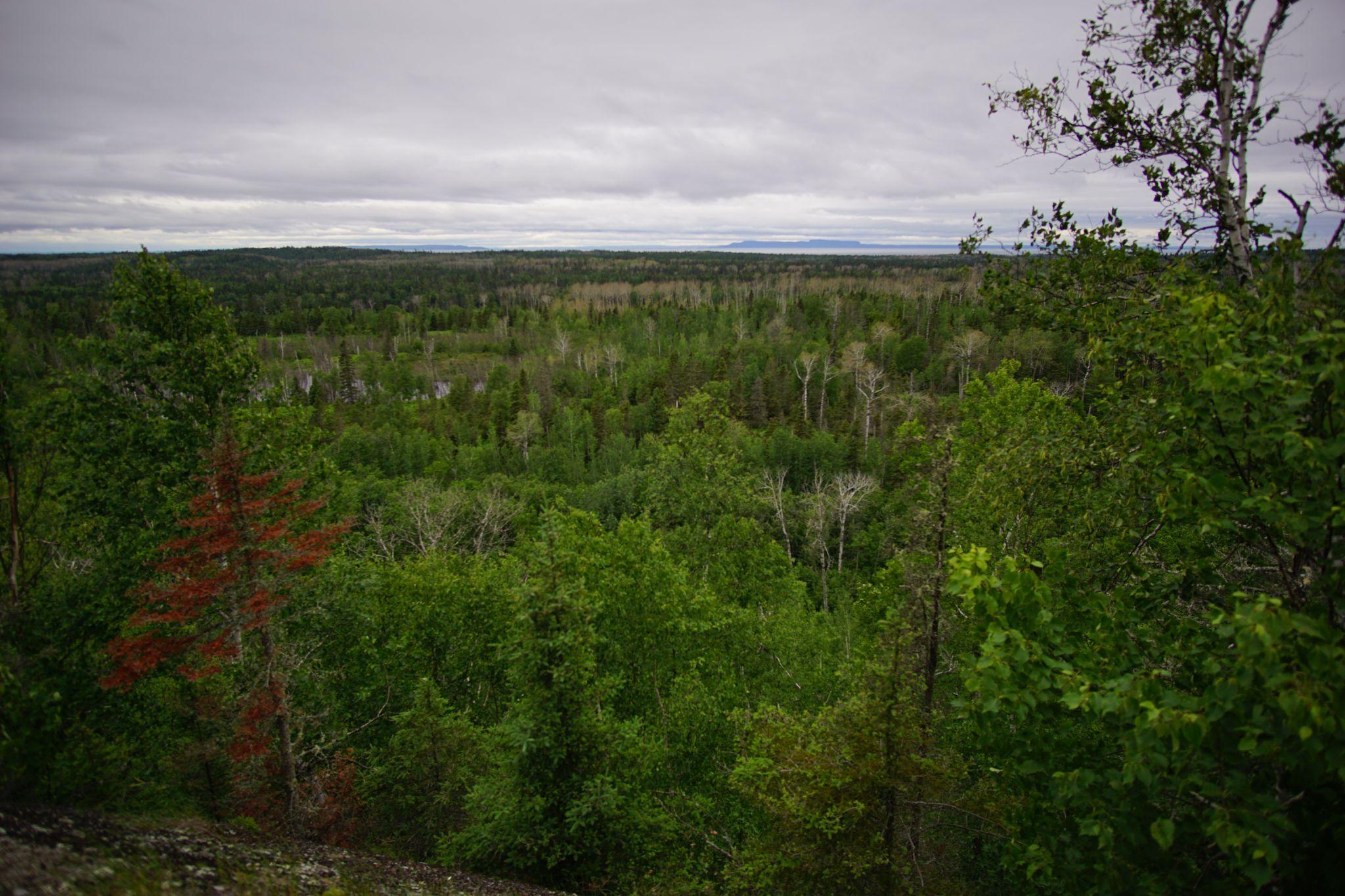
On top of the ridge, seeing Canada and the shoreline of where our night’s campsite was to be.
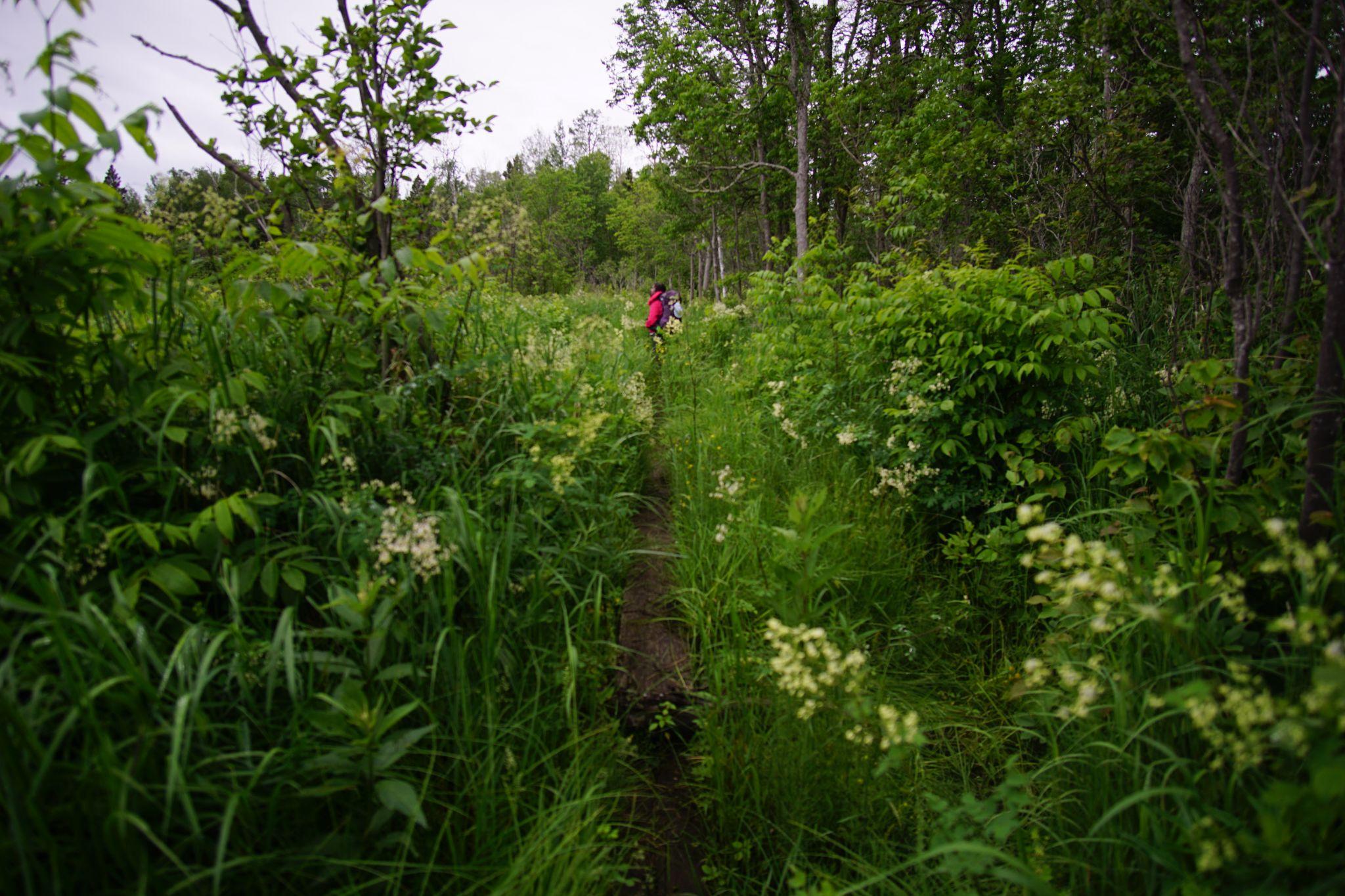
Coming down from the ridge, we did adoration in the littoral zone.
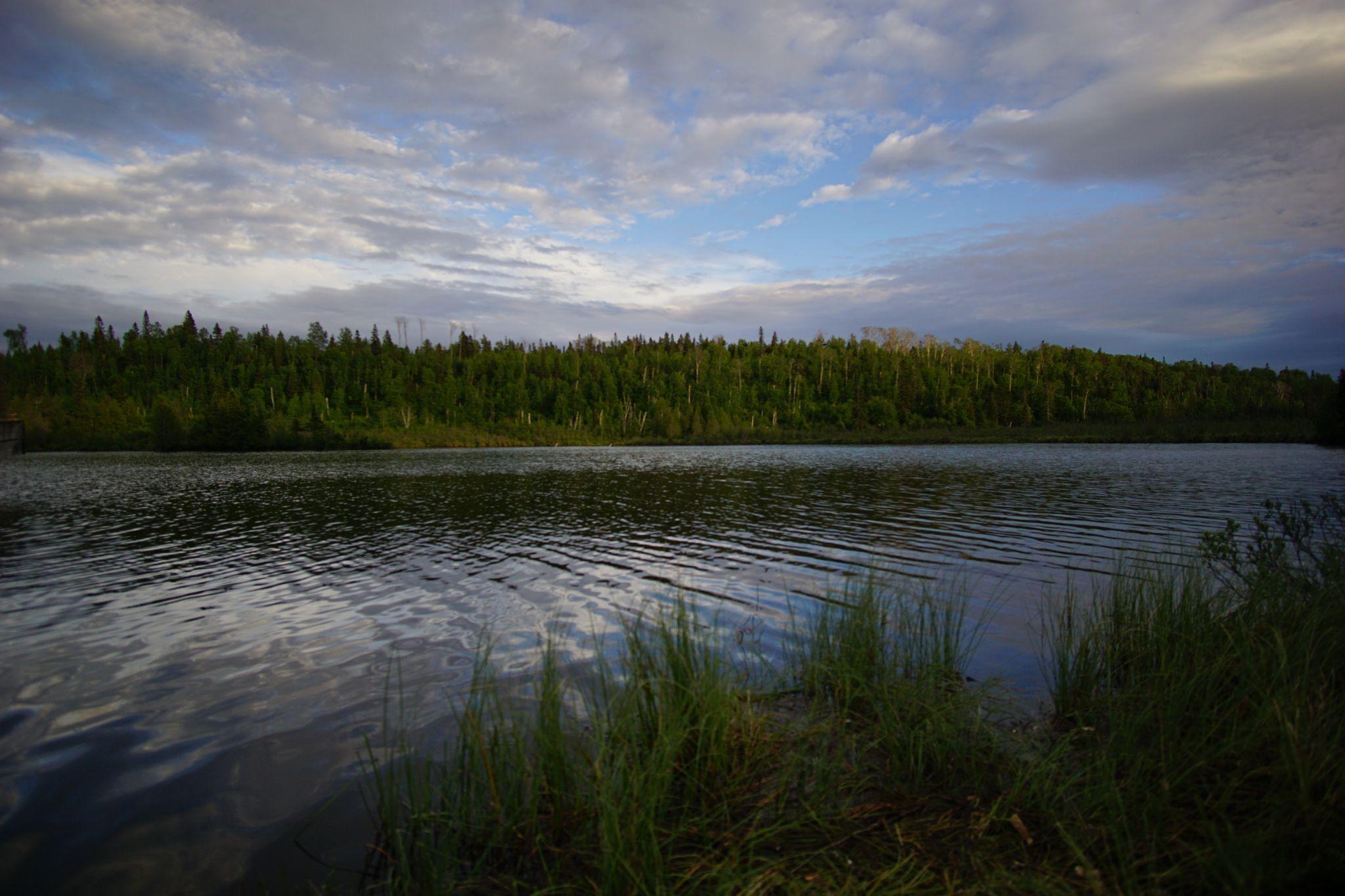
Before deliverance at McCargoe Cove, as the tips of the trees turn golden.
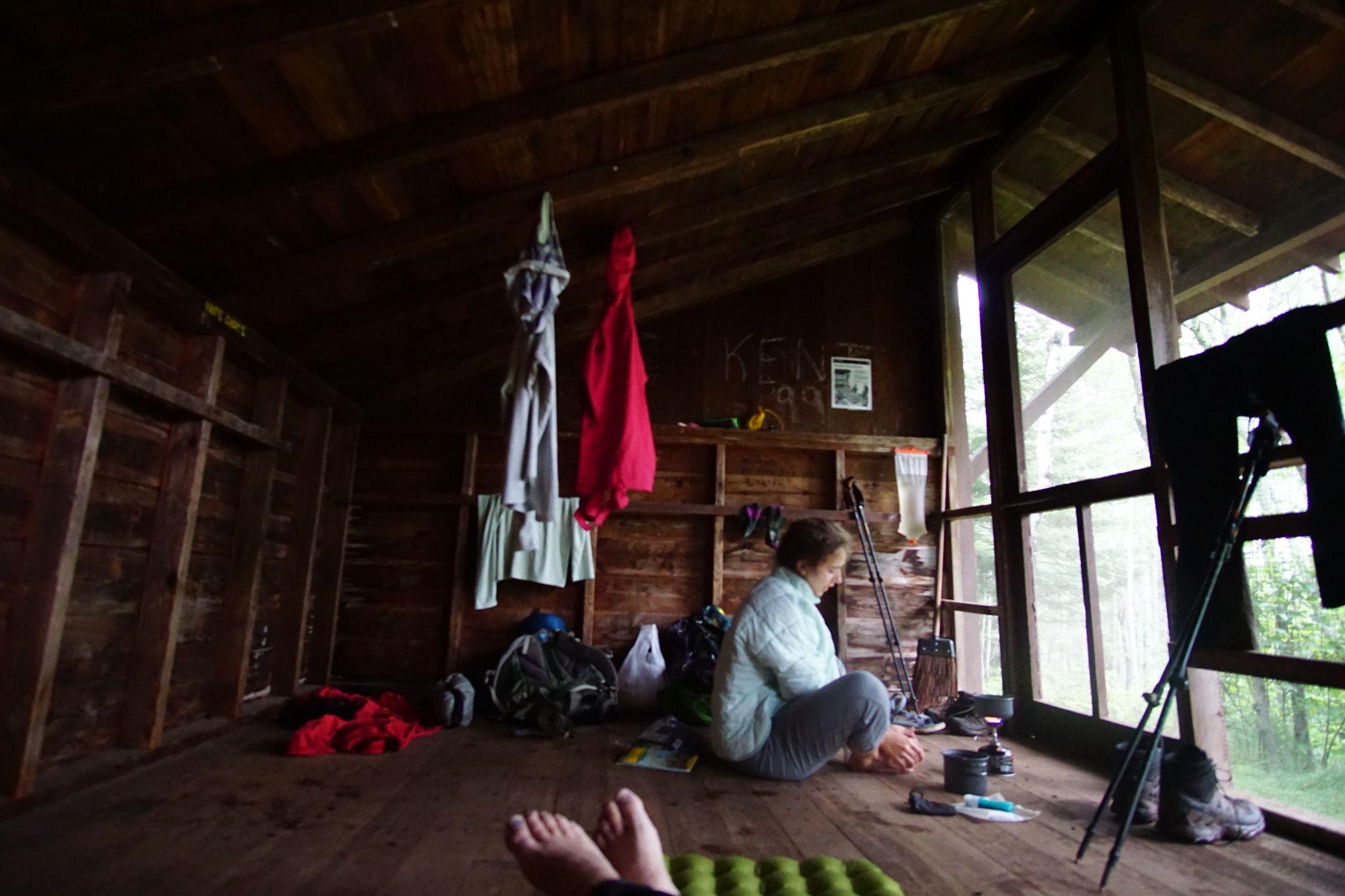
We stretched, filtered water, and ate.
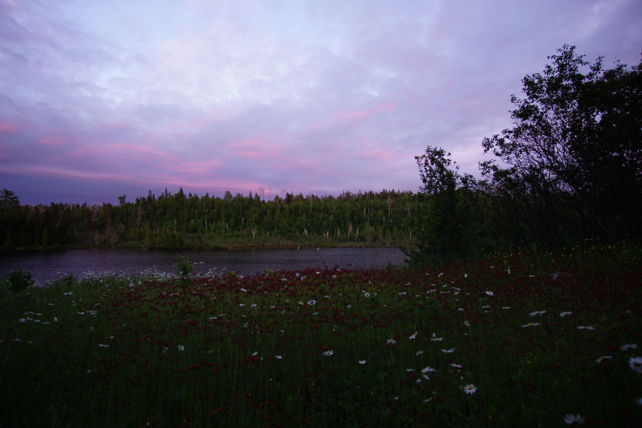
Streaks of periwinkle threaded a velvet sky.
Day 2 - McCargoe Cove to Hatchet Lake - The Interior
- From: McCargoe Cove
- To: Hatchet Lake
- Miles: 11.2
On our second day, we followed the Minong Ridgeline through views and remote bays. We turned into the island walking through colossal ferns, on a beaver dam, and onwards to Hatchet Lake.
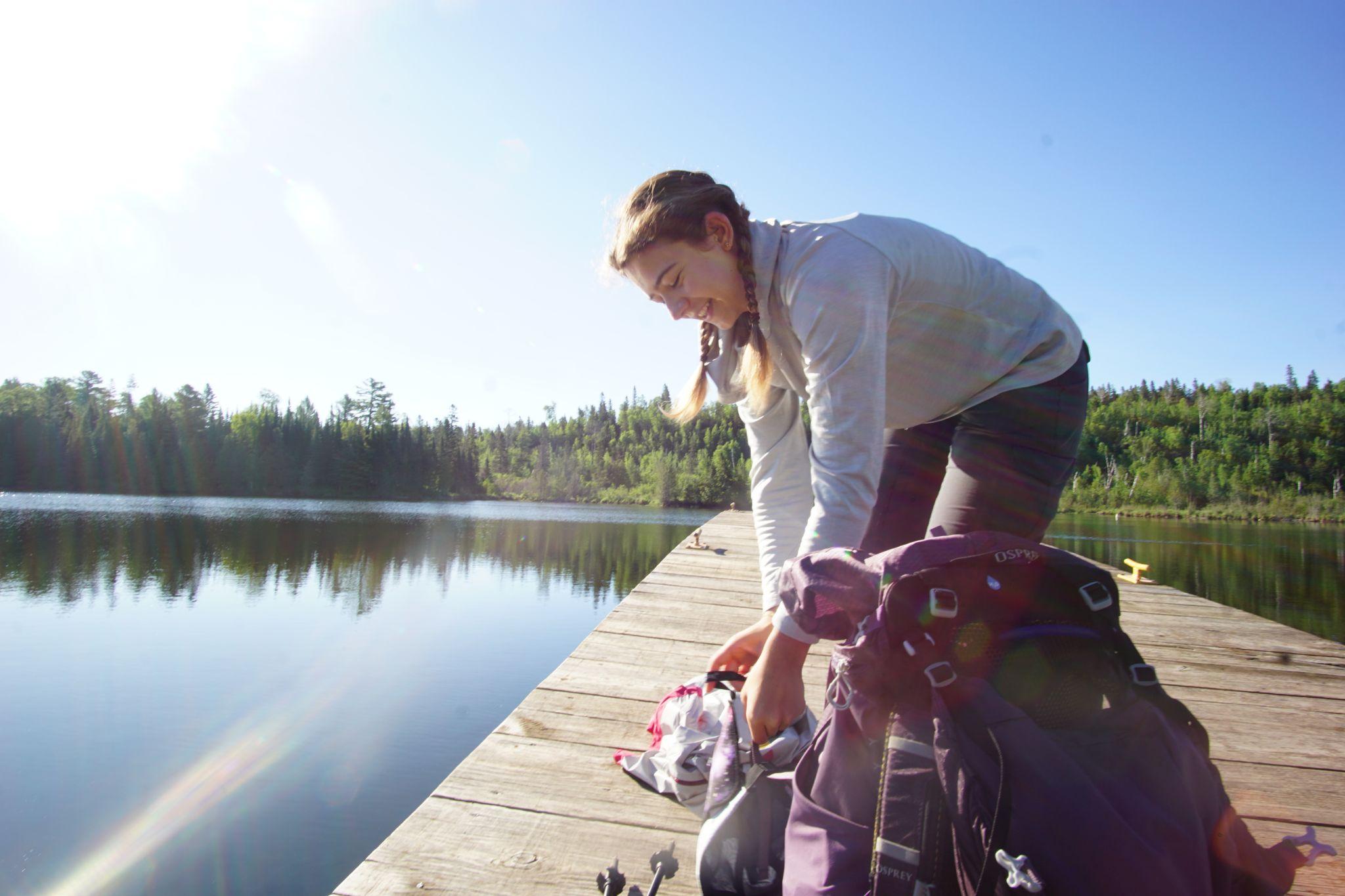
Filtering water after breakfast on the dock.
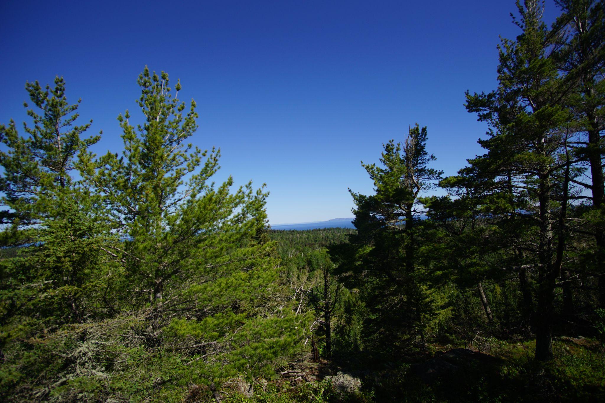
The day’s first climb was up the Minong Ridge.
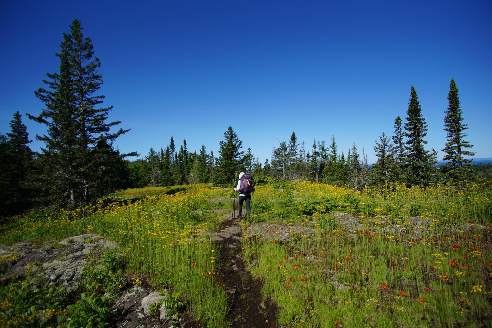
On top of the ridge, we walked through miles of wildflowers blooming with expansive views on either side.
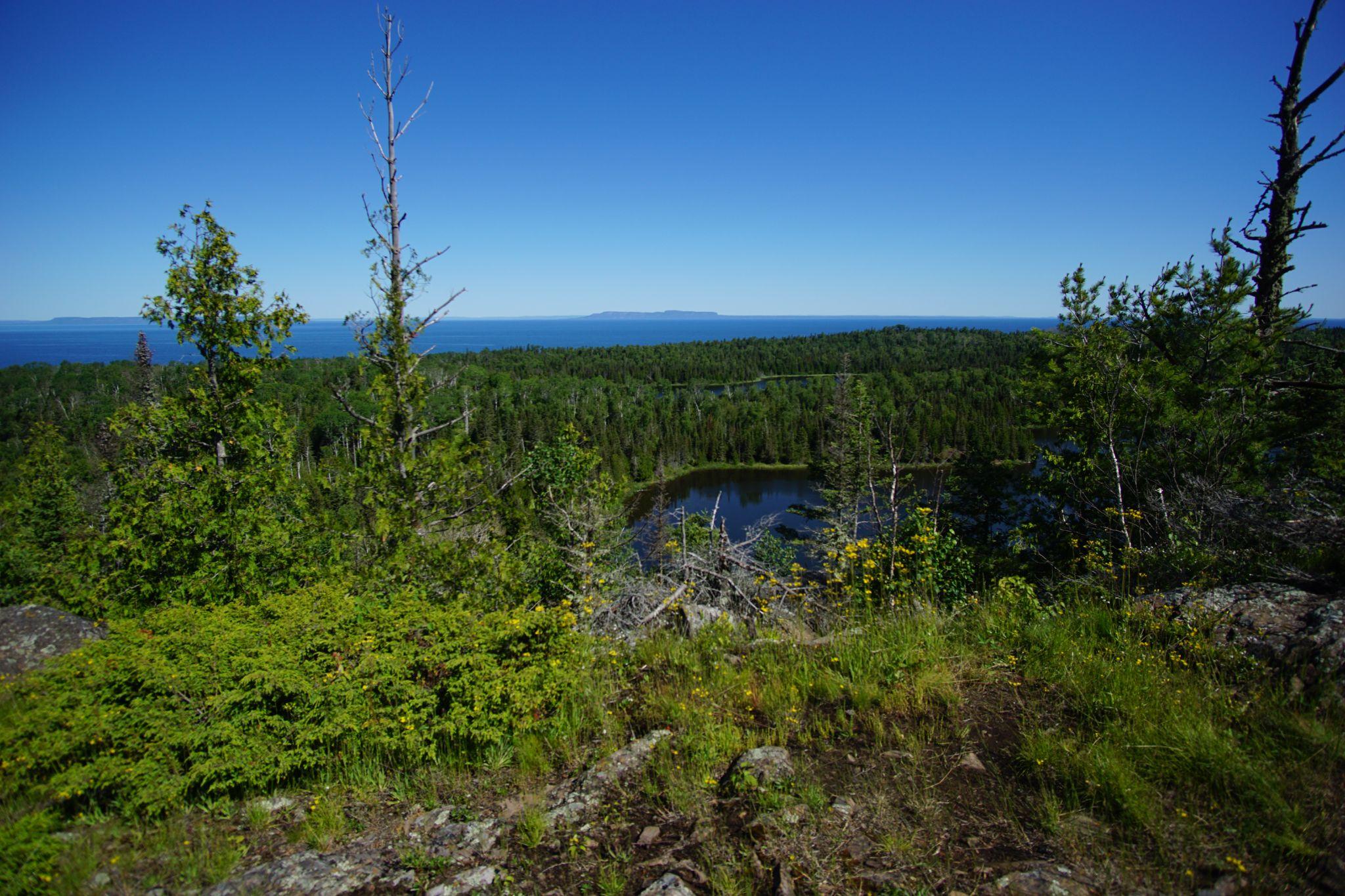
On the right, we saw Canada’s Sleeping Giant Provincial Park rise above the blue horizon and lakes that we wondered had they seen a human in the past decade.
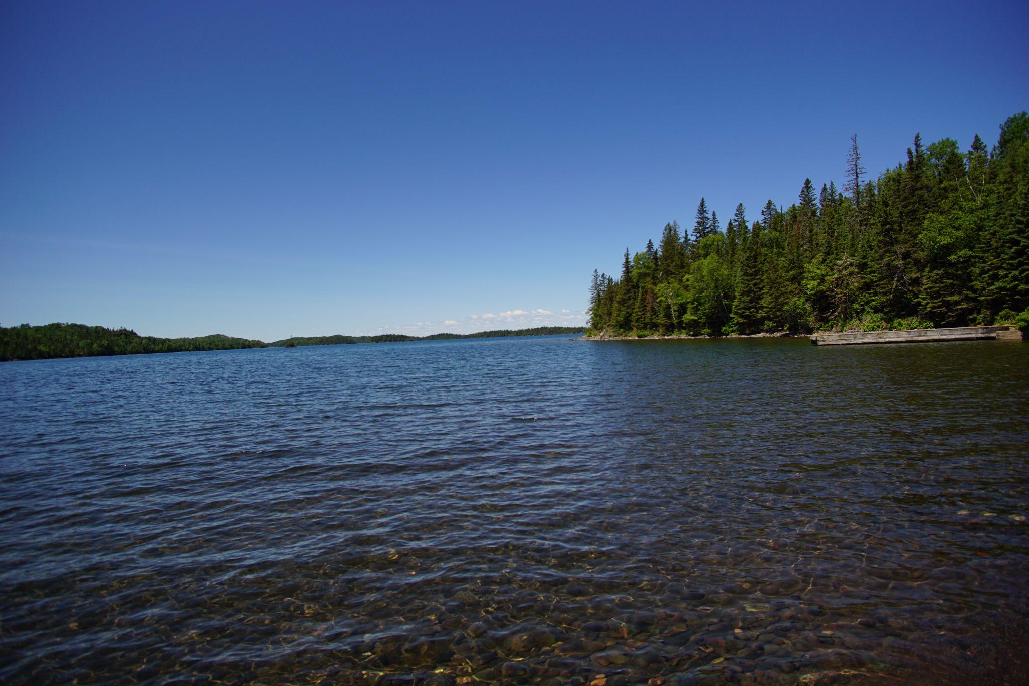
We descended the ridge at lunch to arrive at Todd Harbor.
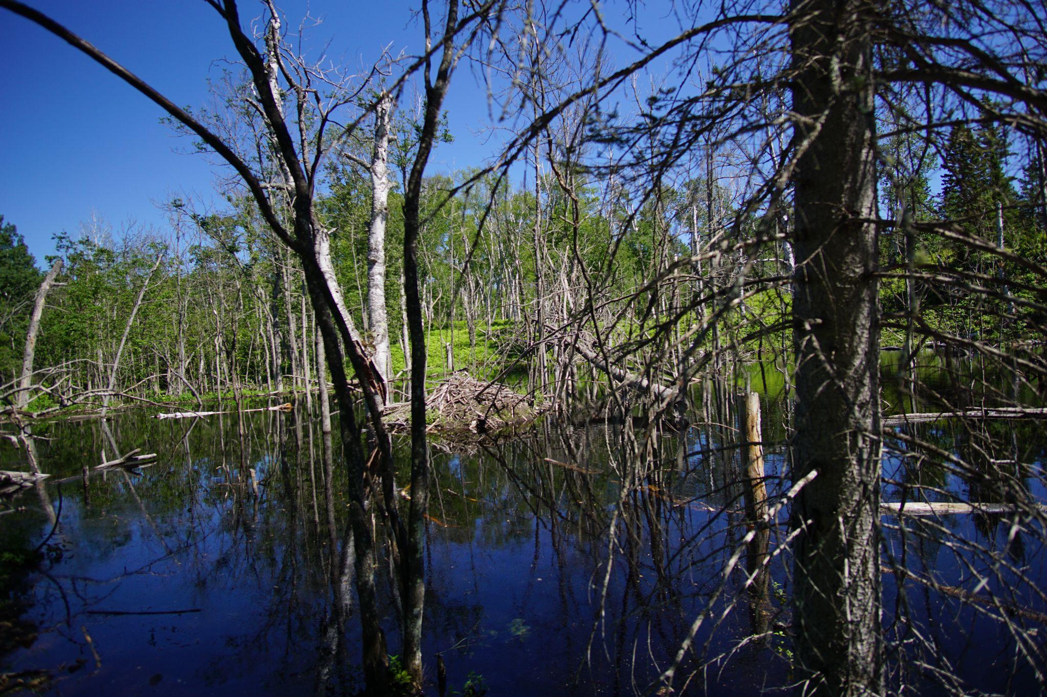
We headed inwards into the island where we came across a beaver dam.
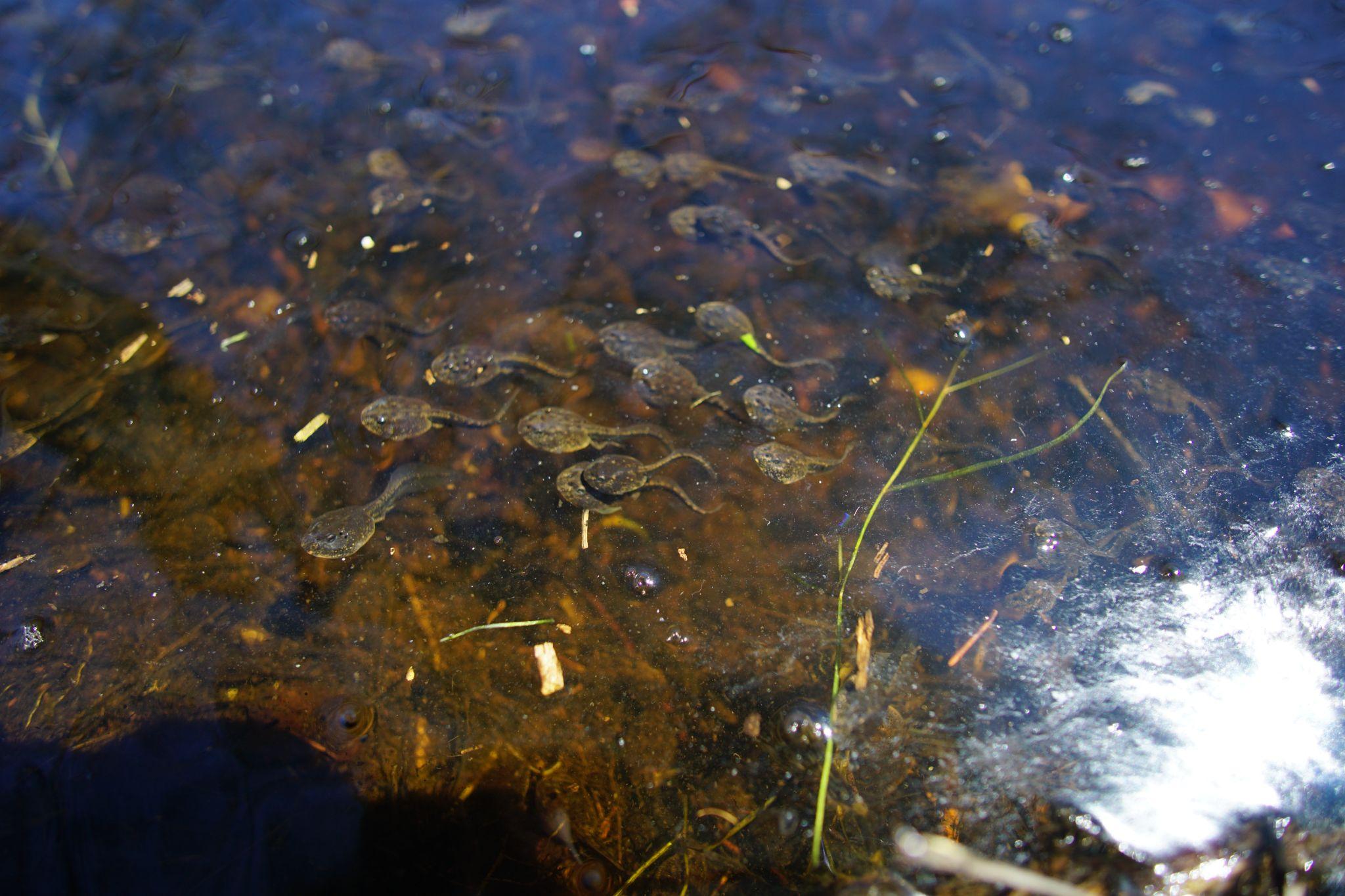
And thousands of minnows.
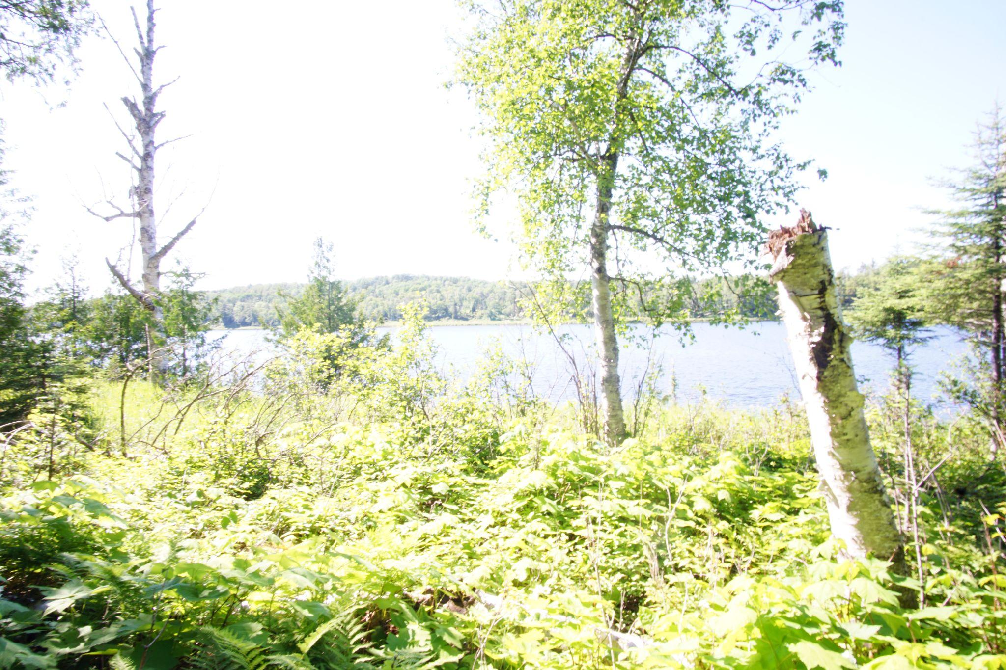
Before arriving at our campsite.
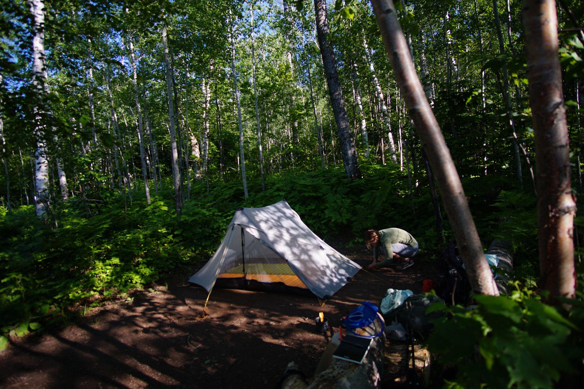
Setting up camp.
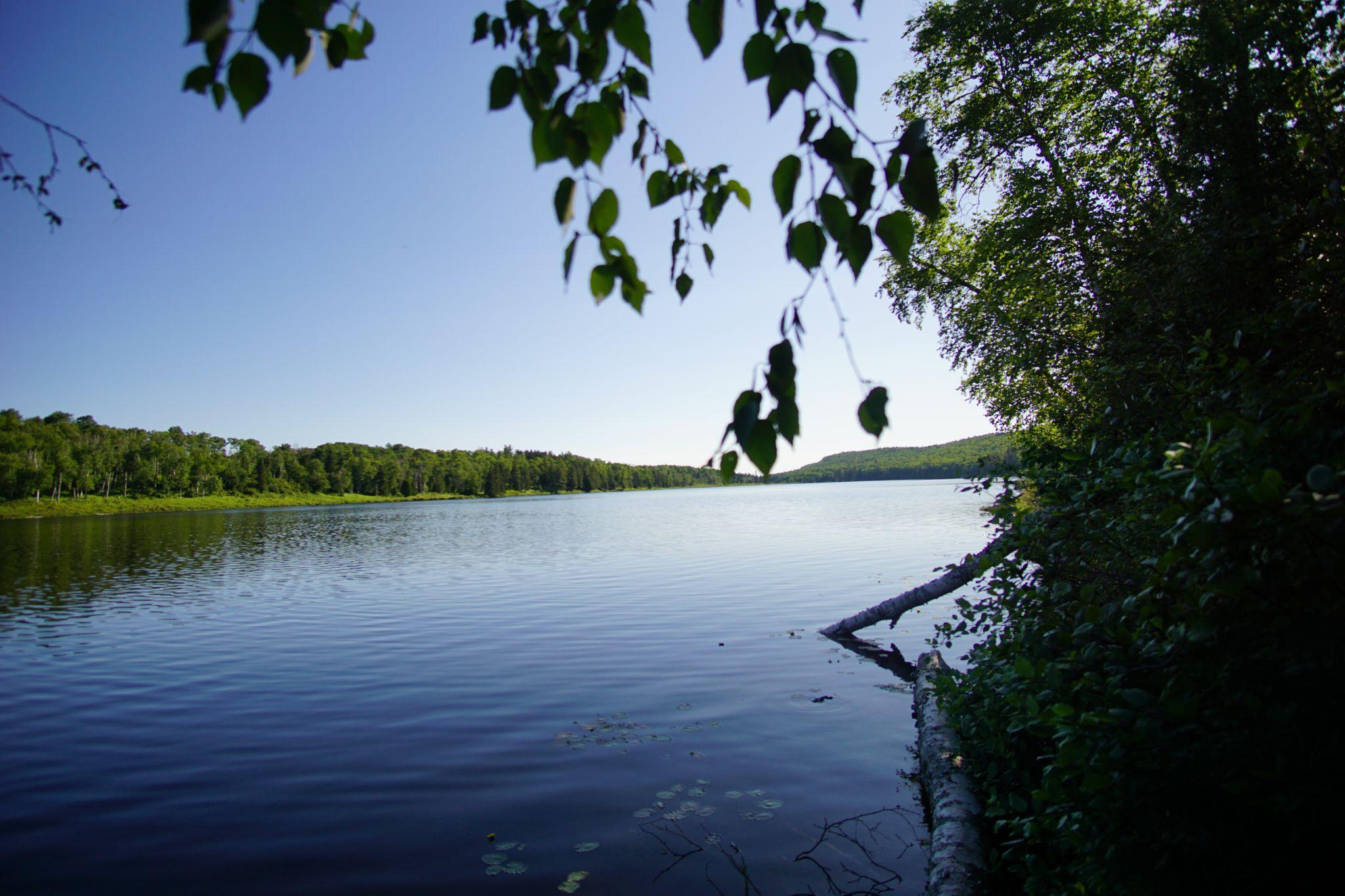
Our dinner spot.
Day 3 - Hatchet Lake to Moskey Basin - Greenstone
- From: Hatchet Lake Campground
- To: Moskey Basin Campground
- Miles: 13.2
Today we paraded on the Greenstone Ridge, became a part of the Mosquito massacre of 2024, and ended our night on a dock watching loons and loonlings play in the water.
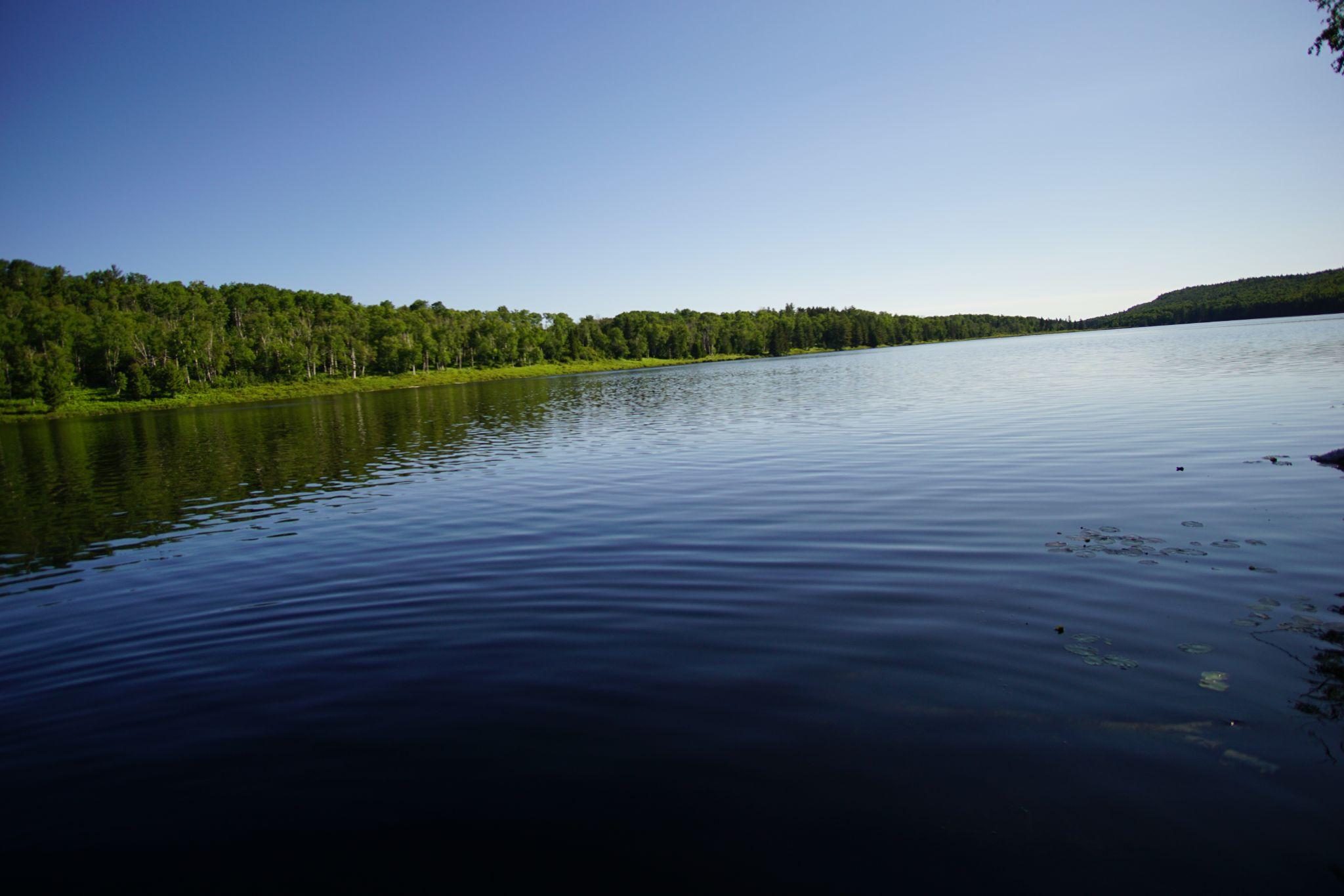
The morning glowed soft on Hatch Lake, as we ate breakfast.
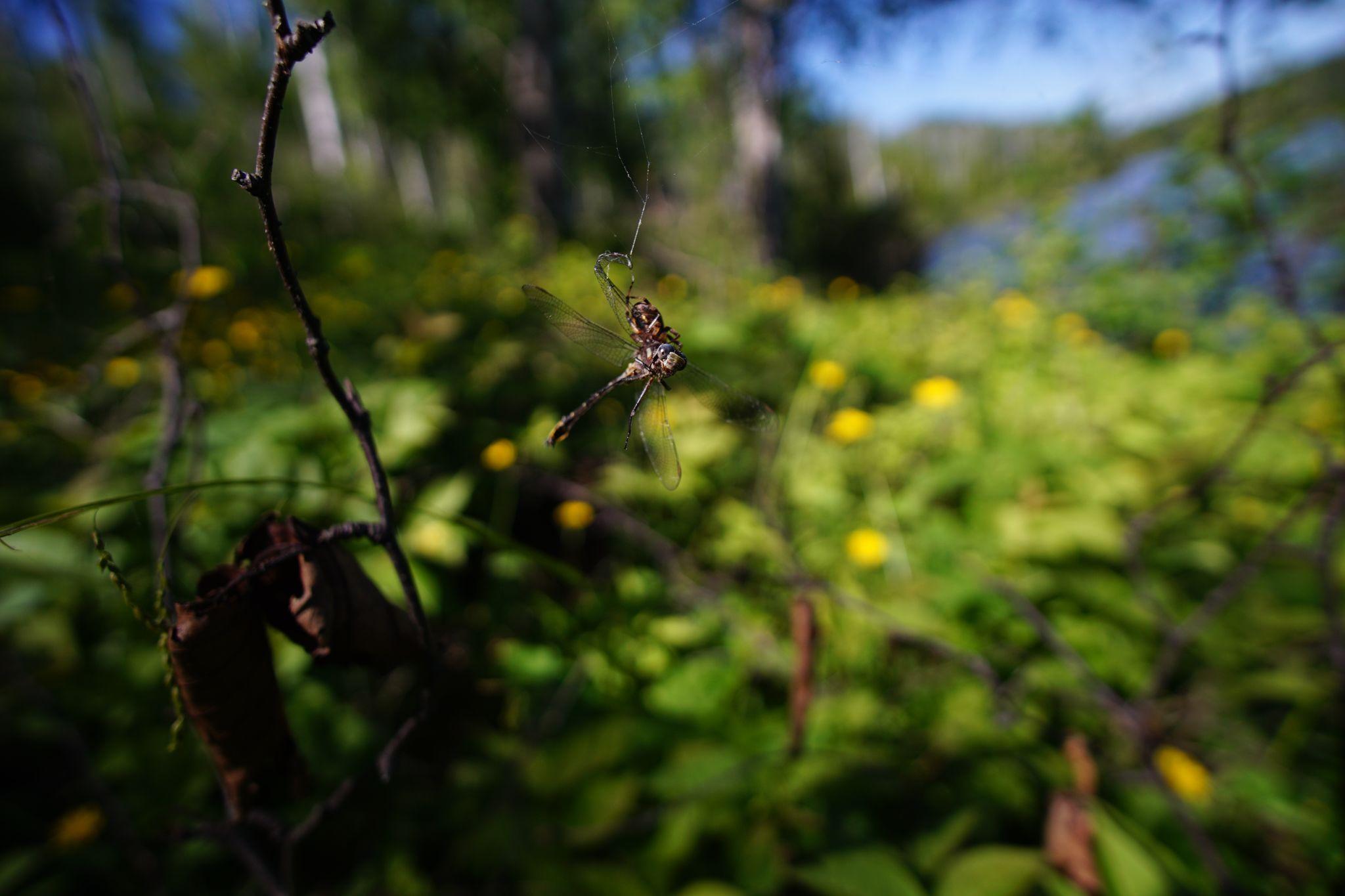
Leaving camp, we spotted a dragonfly caught by a spider.
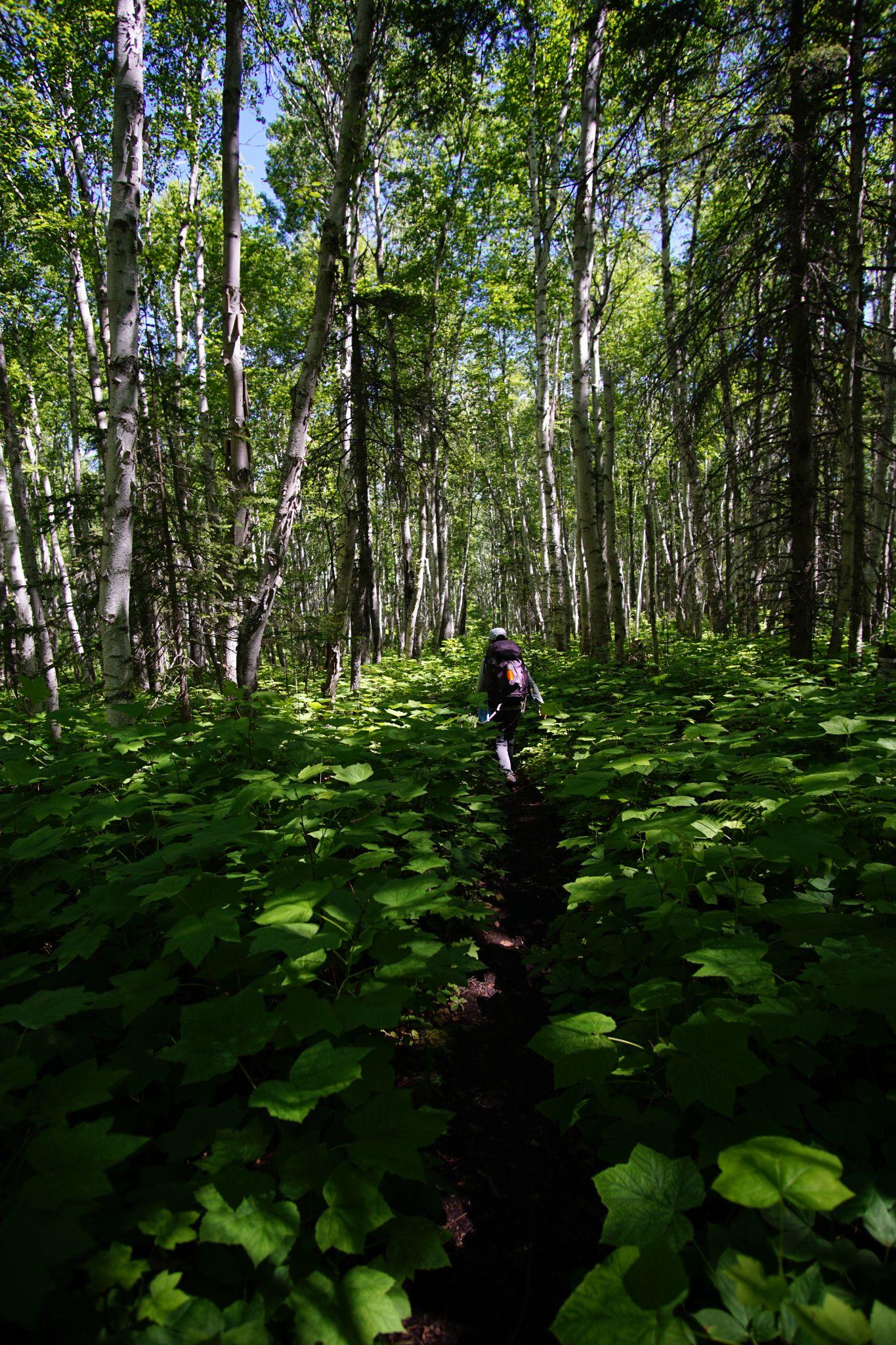
We rose through the forest’s hills until all at once, we climbed onto the Greenstone Ridge.
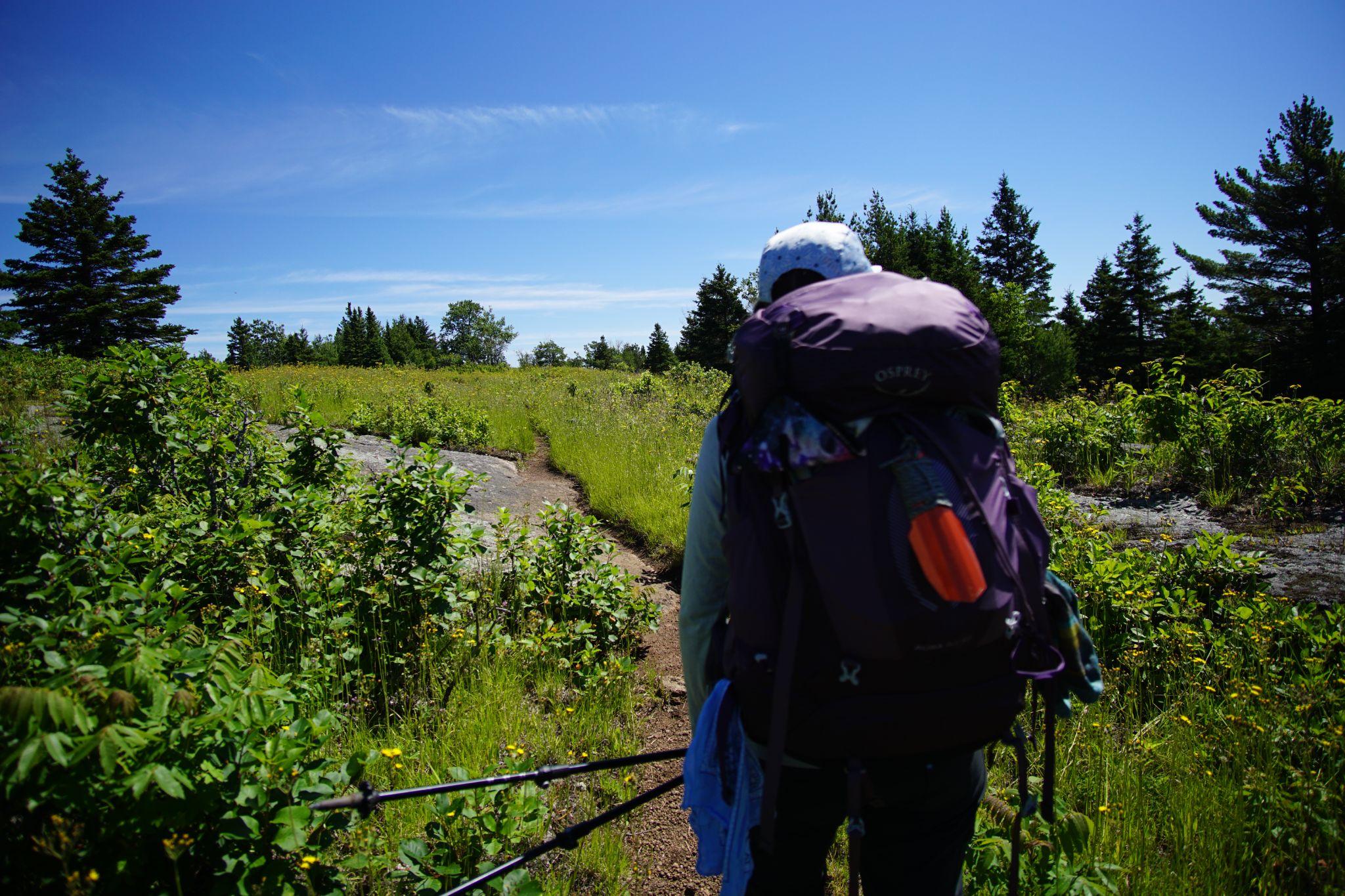
This was the Isle’s main spine.
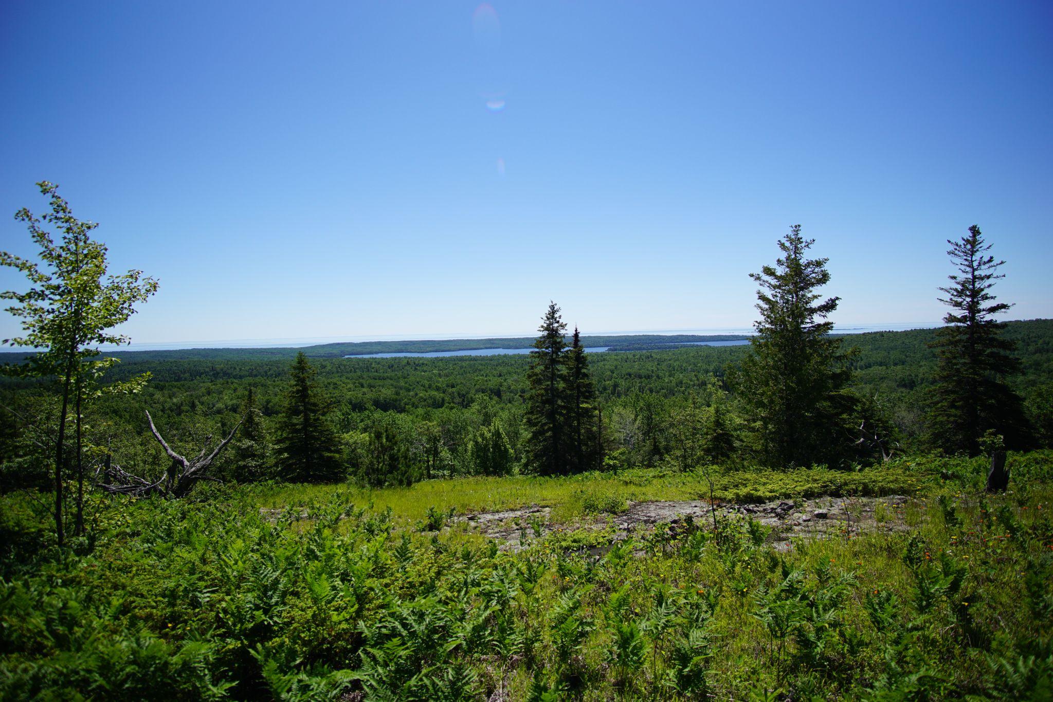
Looking to the right, the interior lakes cascade into the larger Superior.
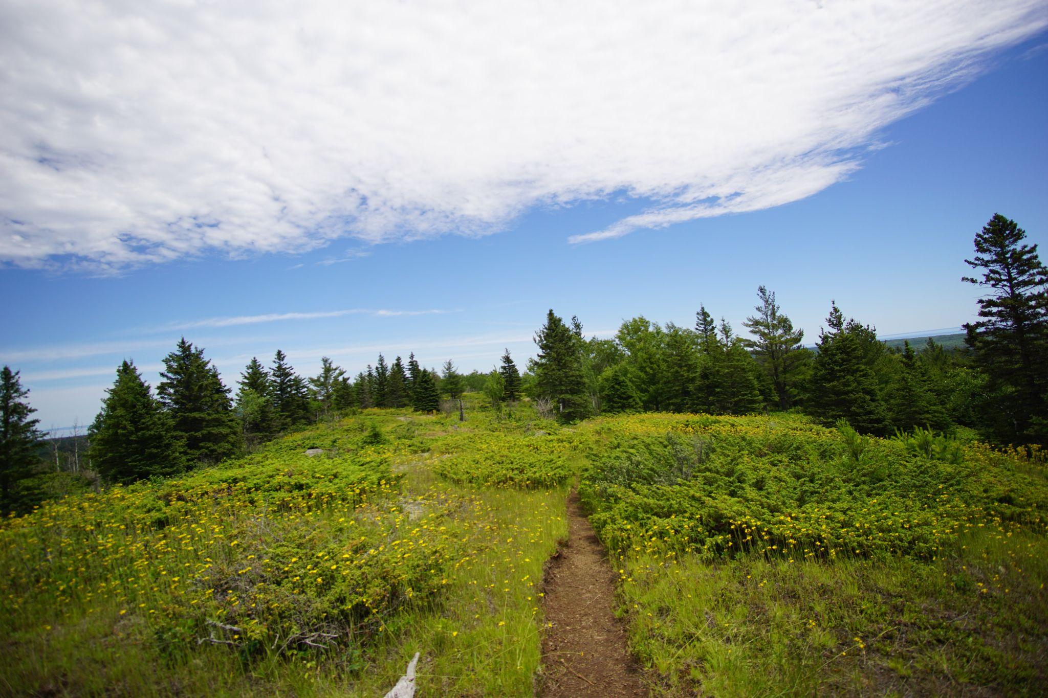
Packera on either side of the trail heralded our path onwards as we spent the morning enjoying the views.
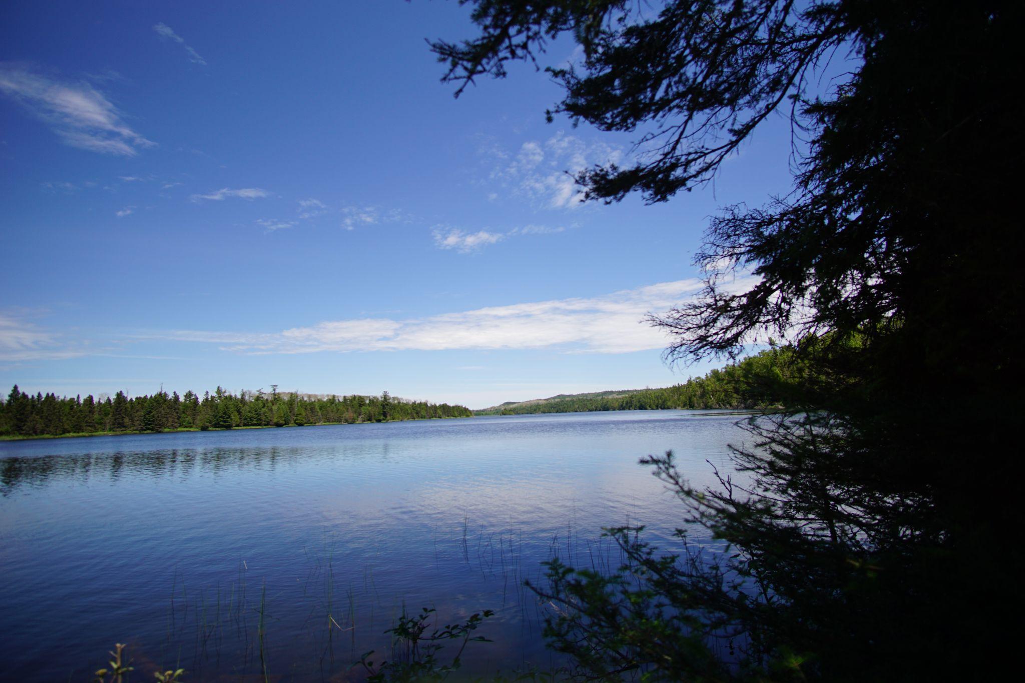
We departed the ridge in early afternoon, making our way to the serene lakes spotted before.
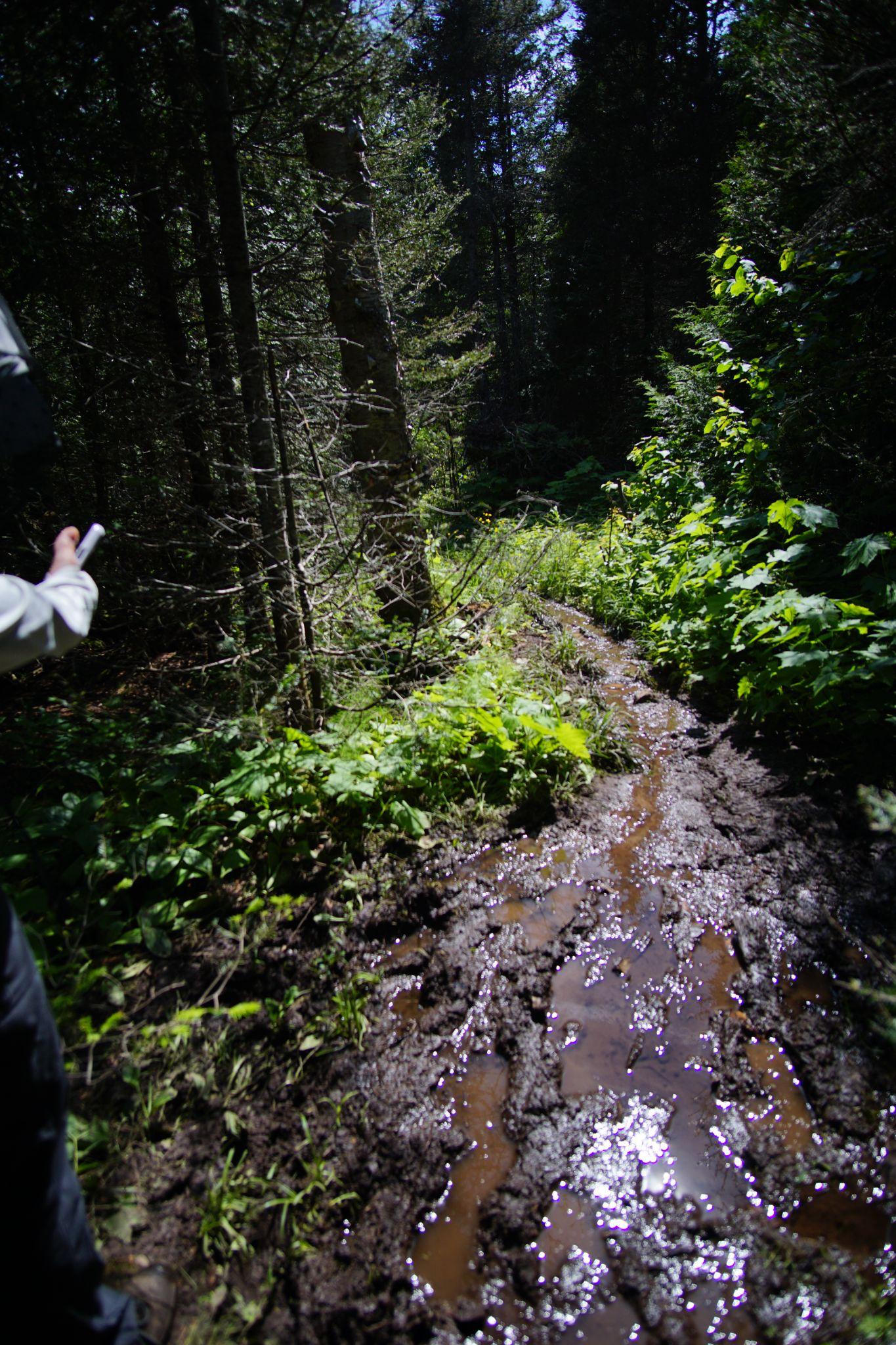
And then there was mud - for miles.
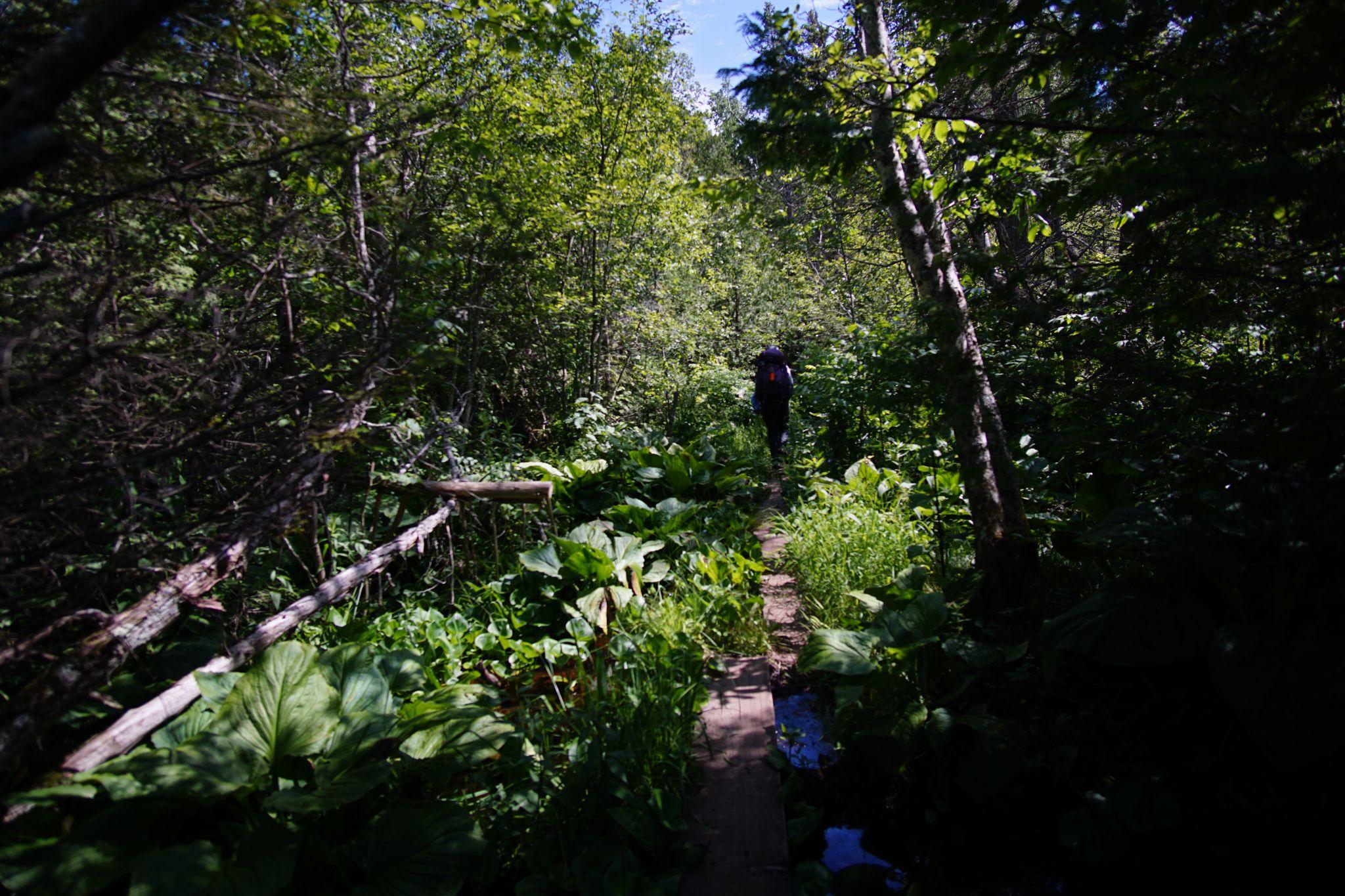
Miles of raised boardwalks carried usthrough a thick, wondrous swamp - my favorite ecosystem of the trip!
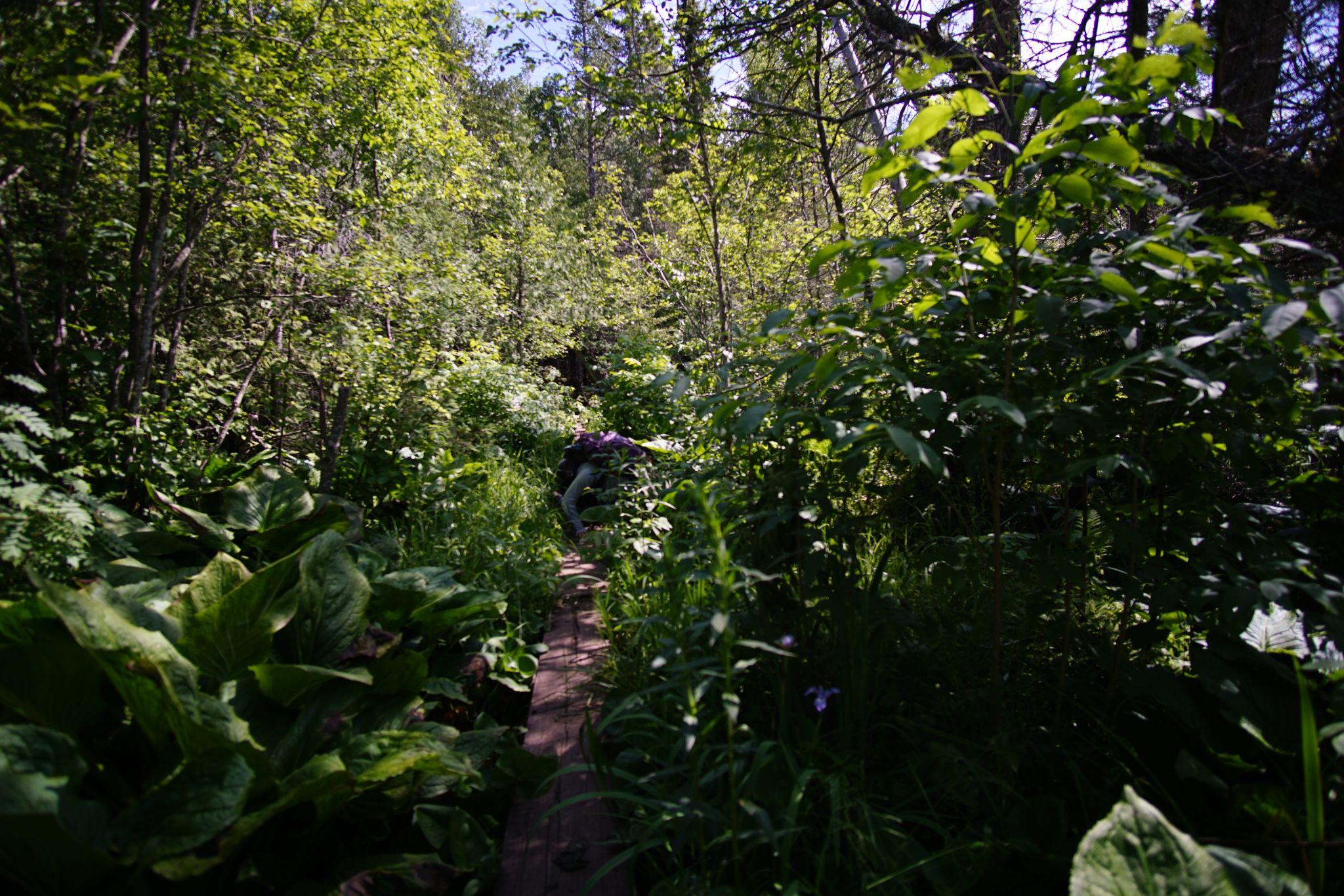
One foot in the drink!
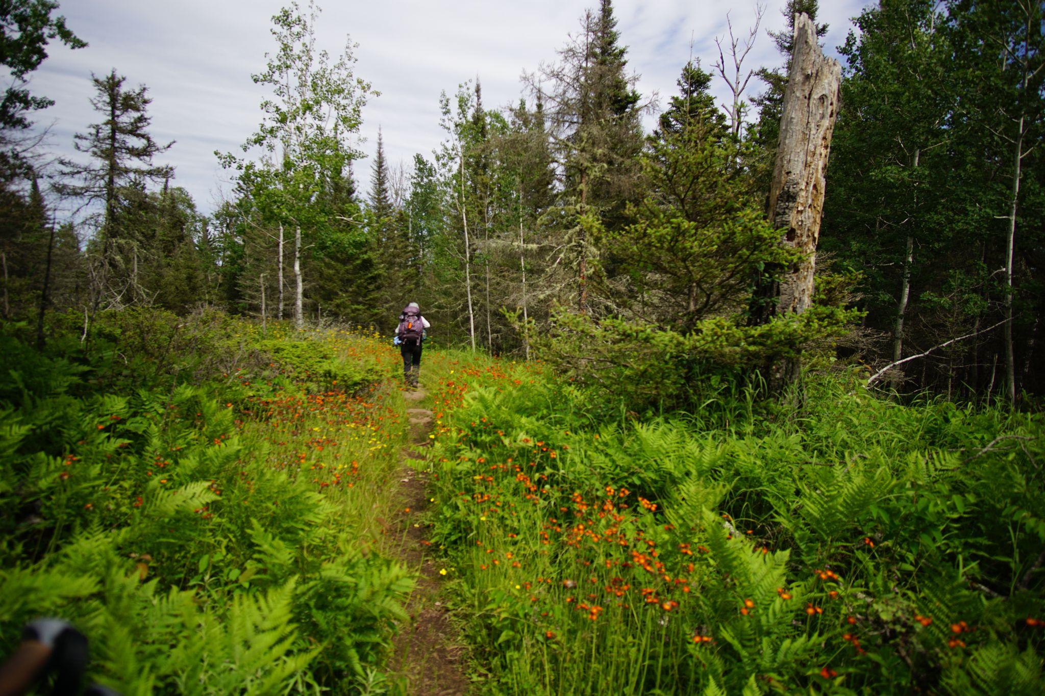
The boardwalks ended.
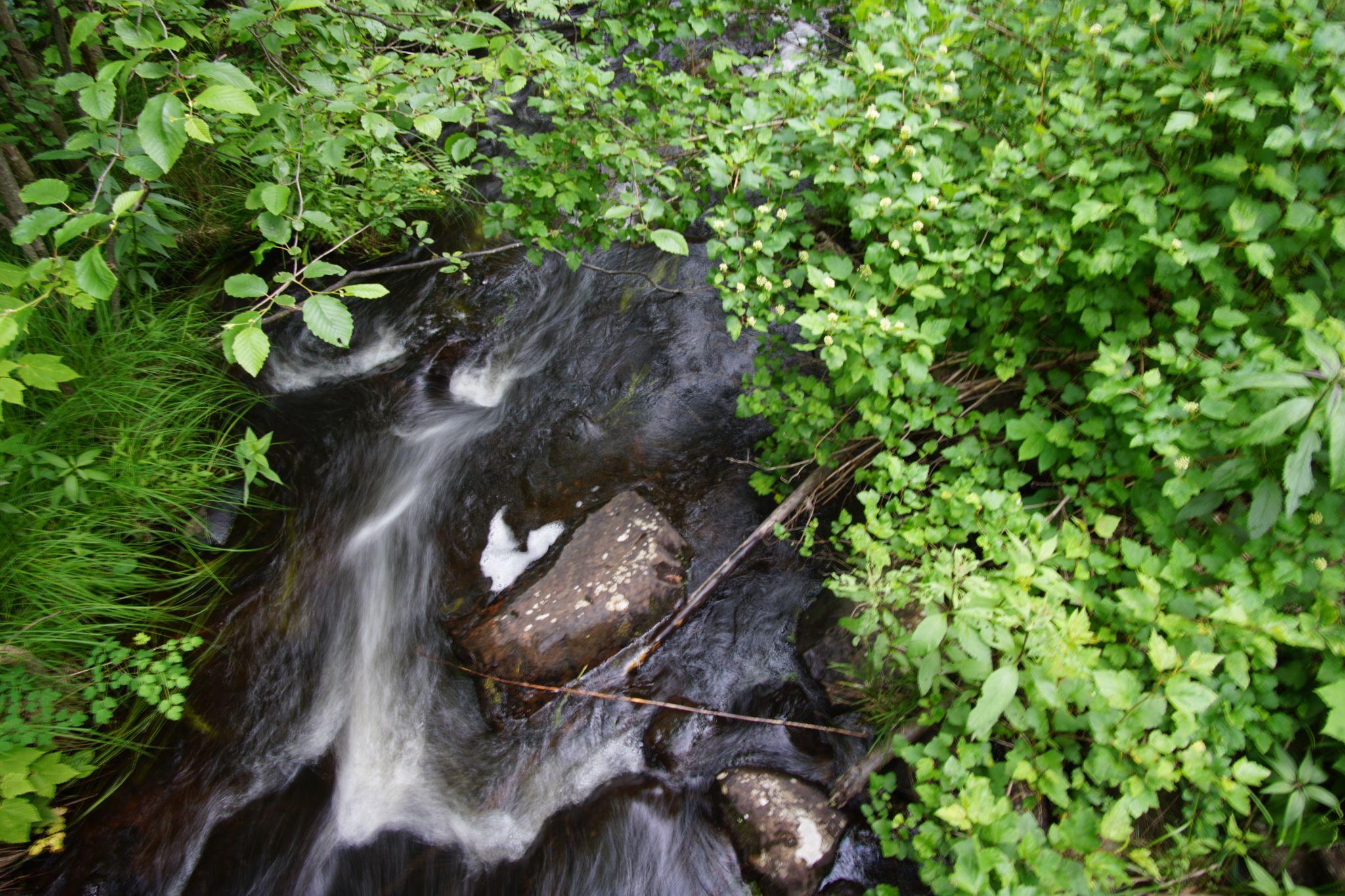
River
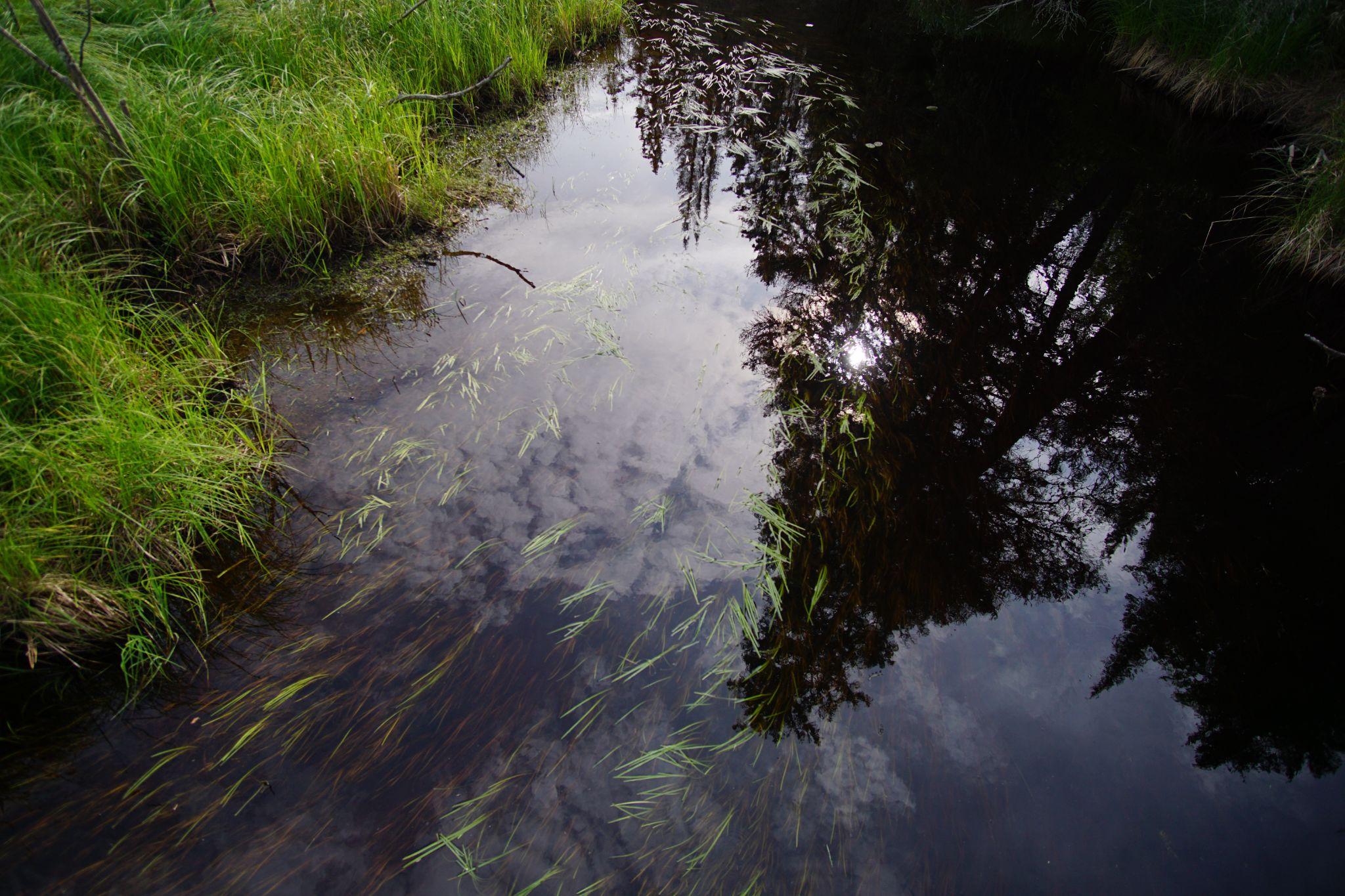
Reflection
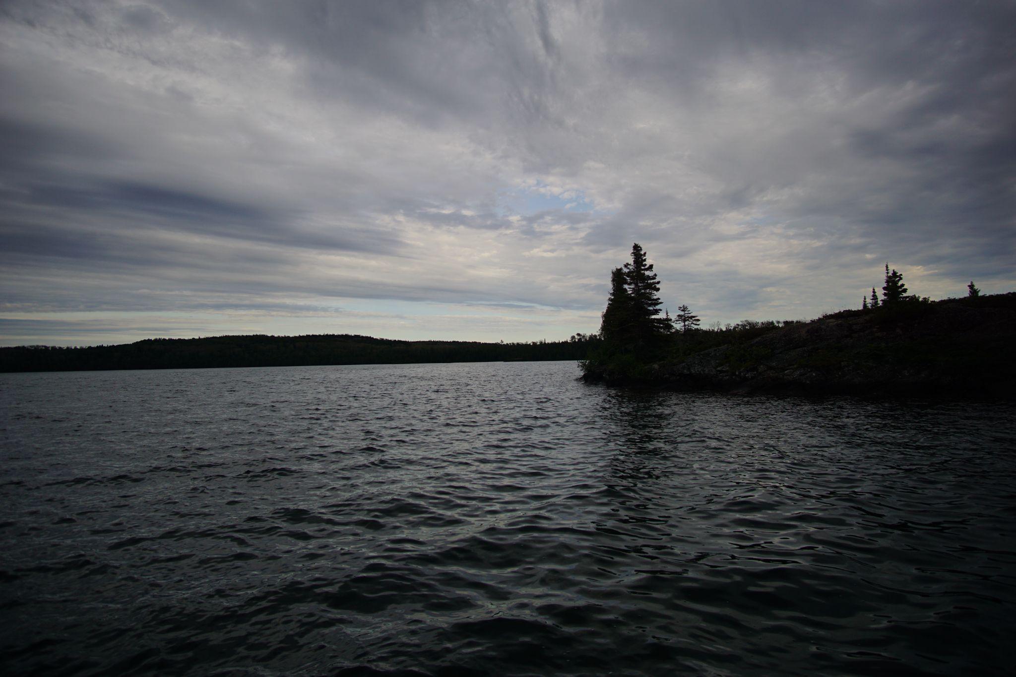
Clouds streaked and water darkened.
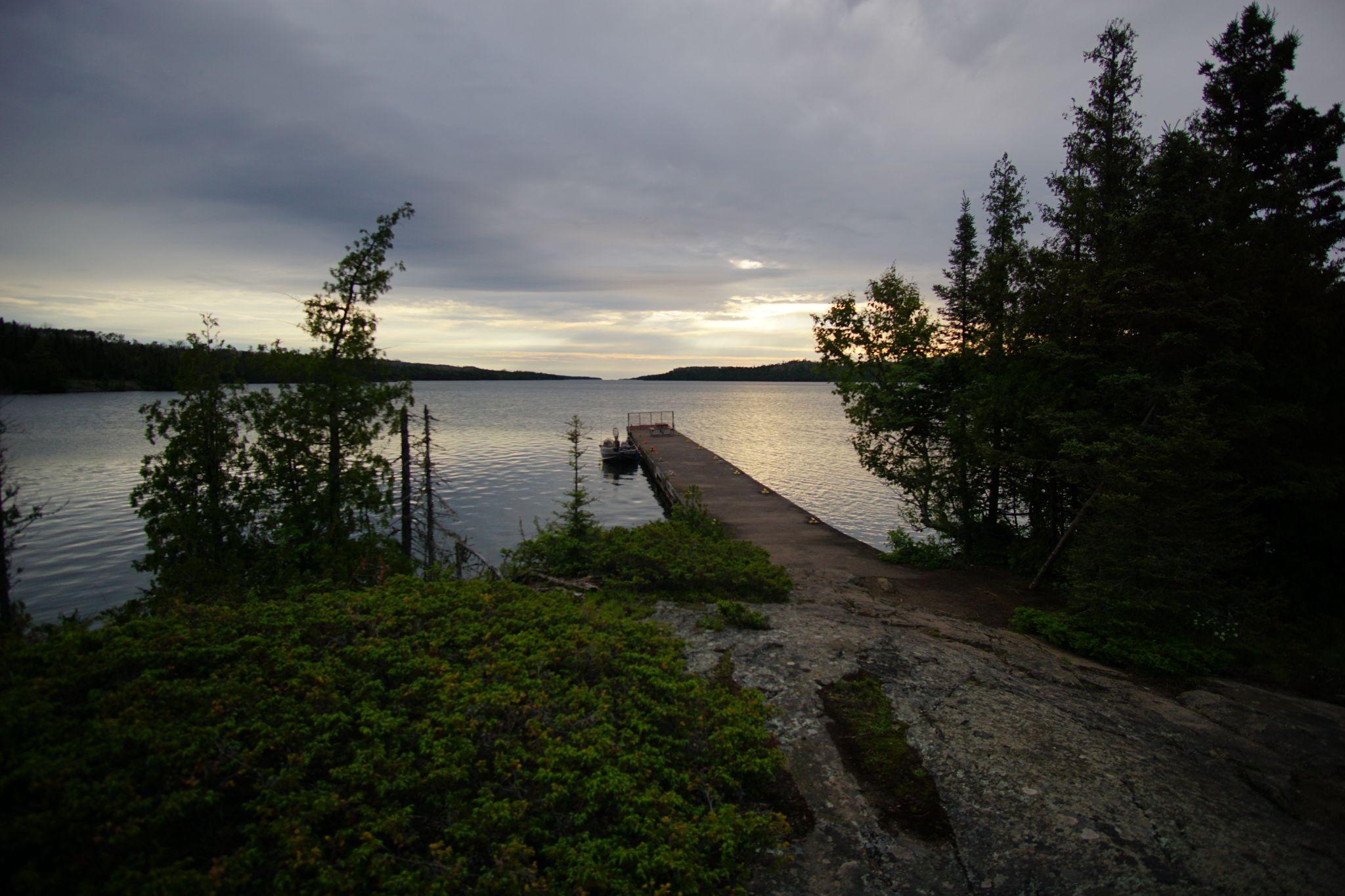
We came to our tent tired with faint smiles.
Day 4 - Moskey Basin to Daisy Farm - Raining
- From: Moskey Basin
- To: Daisy Farm
- Miles: 3.9
We woke to a lower pressure in the air. The bugs, relentless on this trip, were suddenly afraid to come out. The clouds were black, and after a slower morning, the rain came down. We huddled in the nearest shelter passing the time watching the hurricane, reading the graffiti on the walls, and talking.
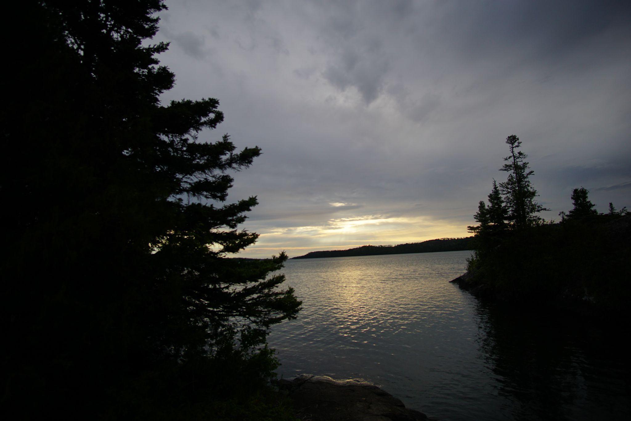
Moskey Basin Morning
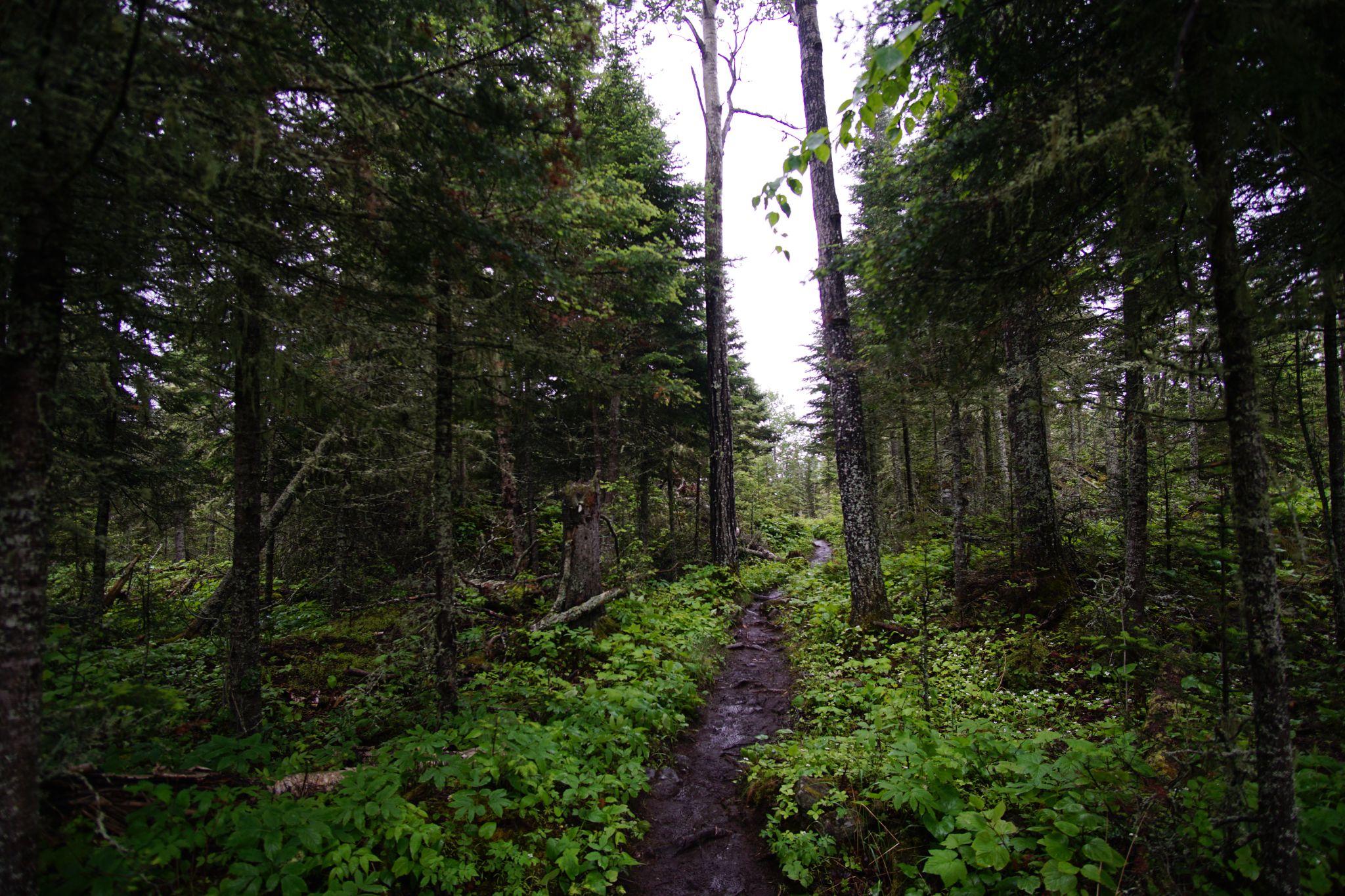
Hiking North.
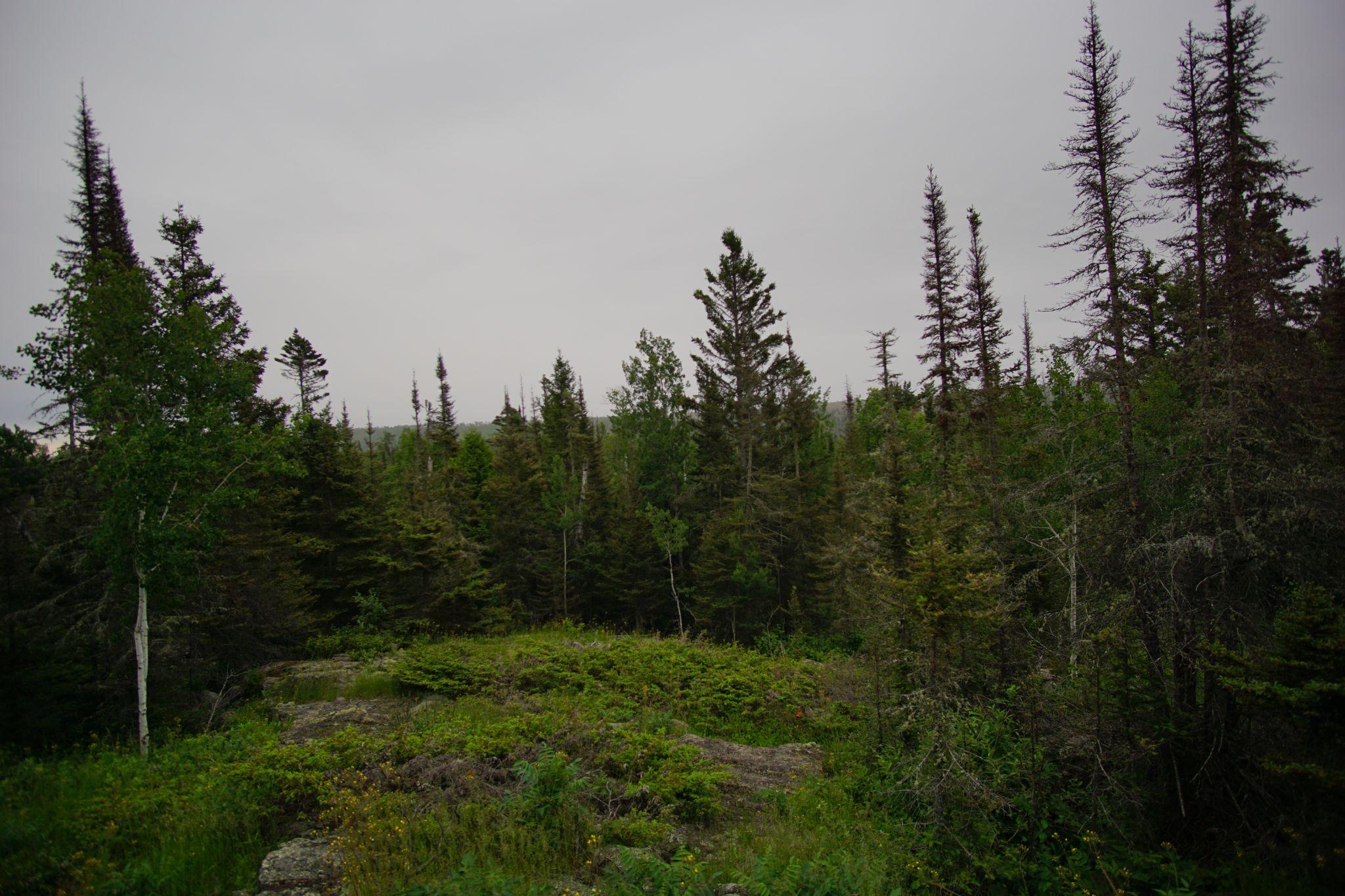
Foreshadowing
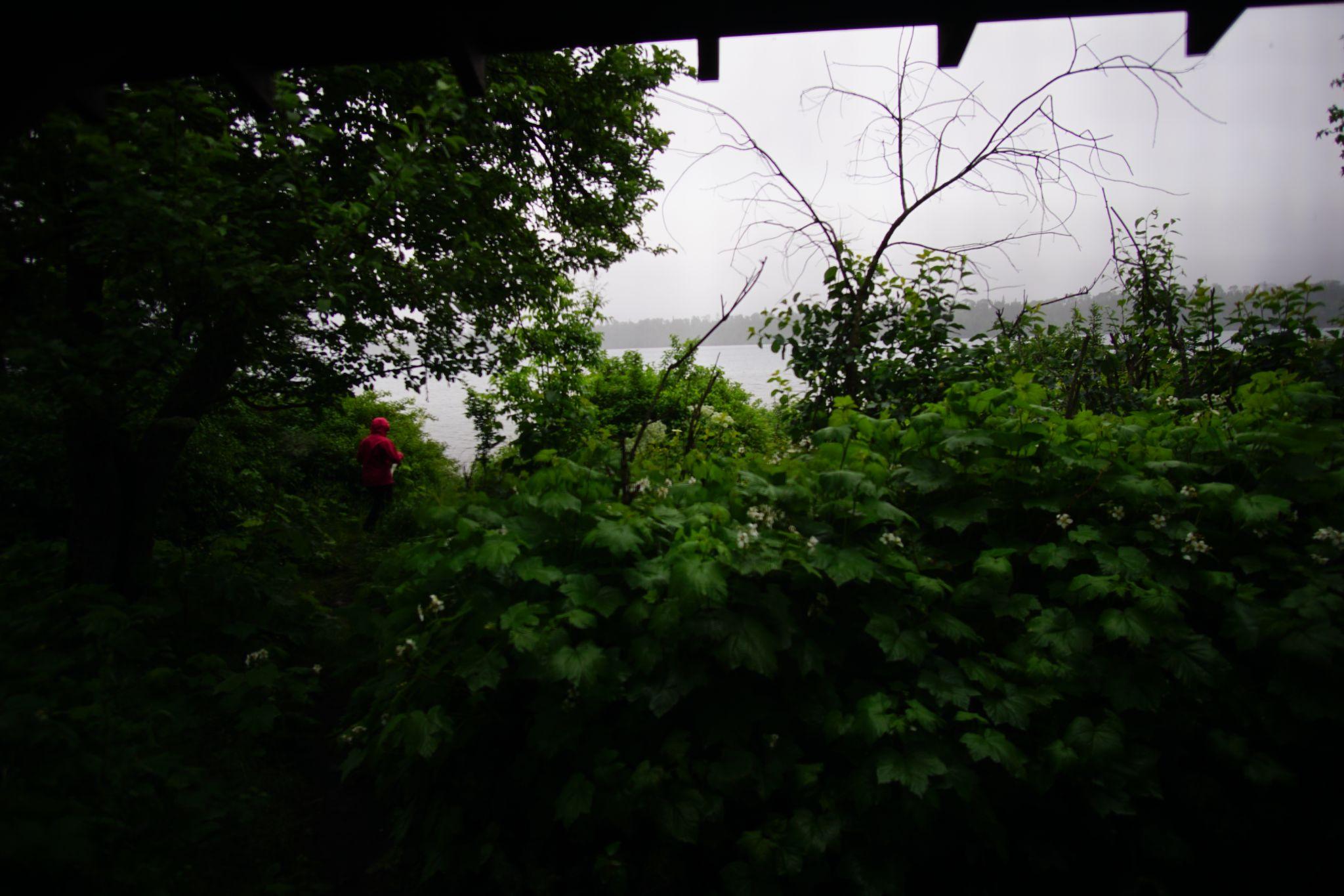
Downpour
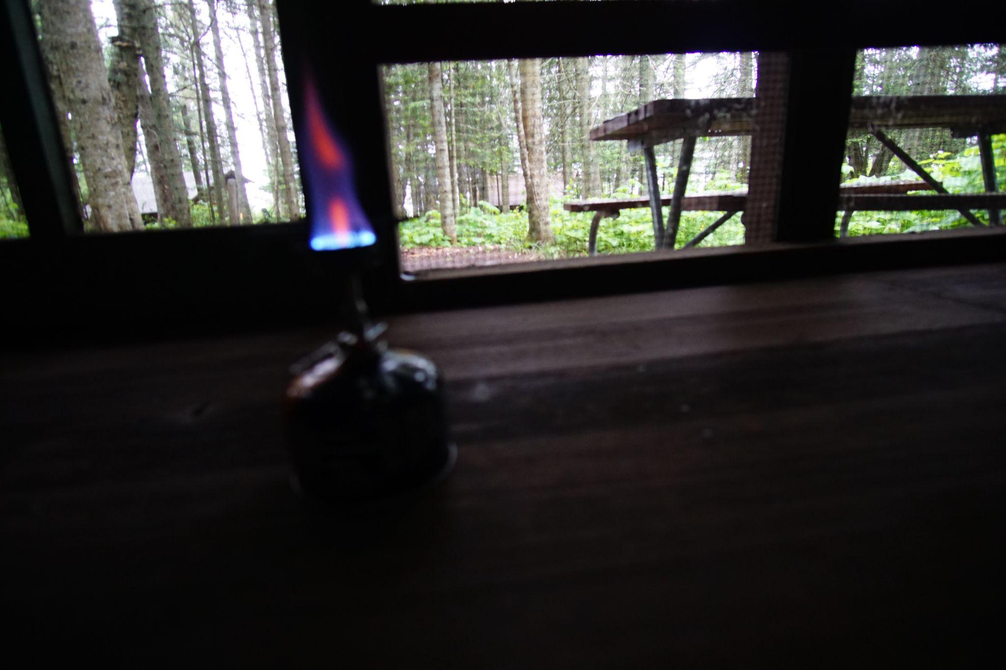
Huddled at Daisy Farm
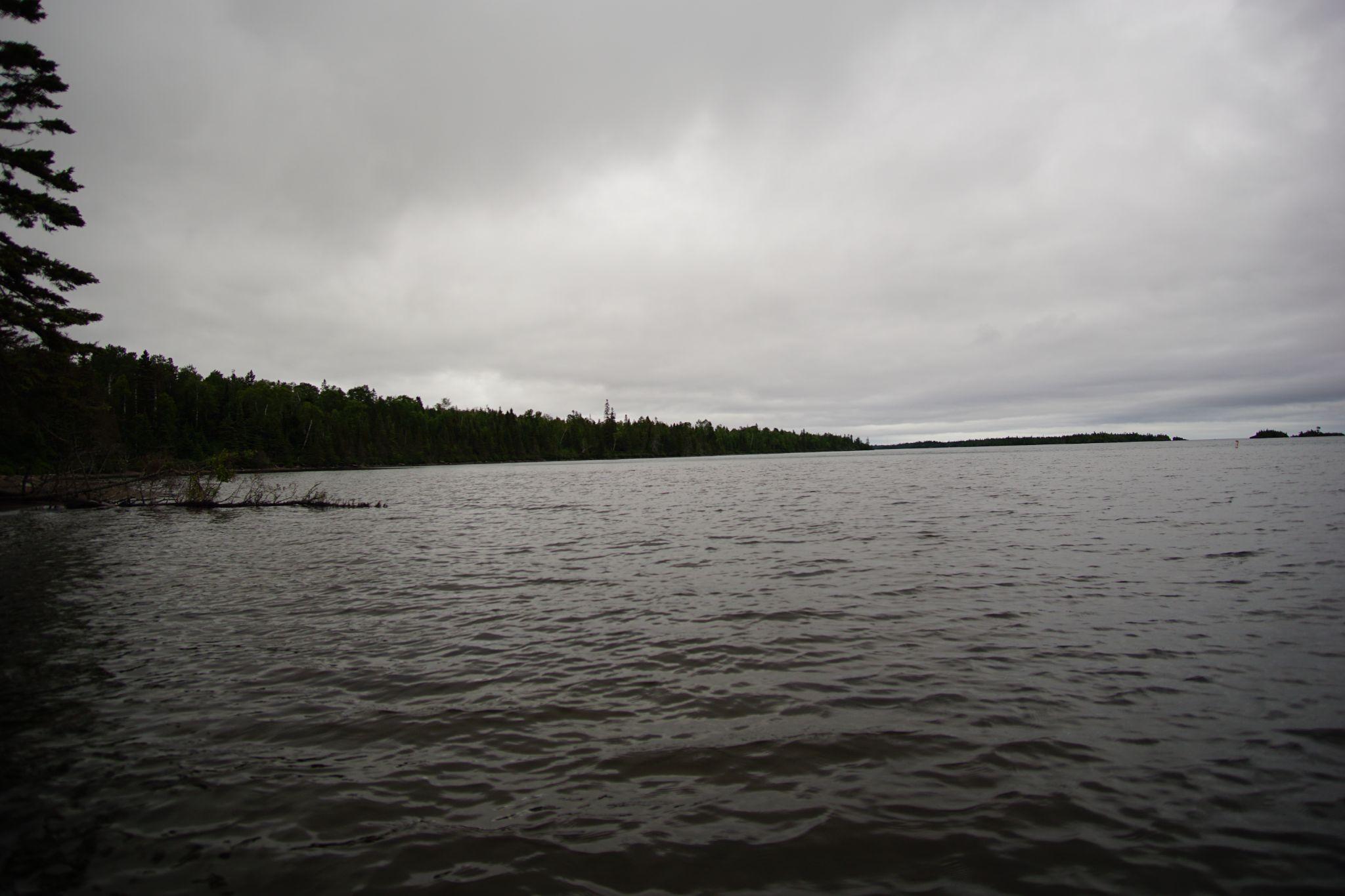
After the storm
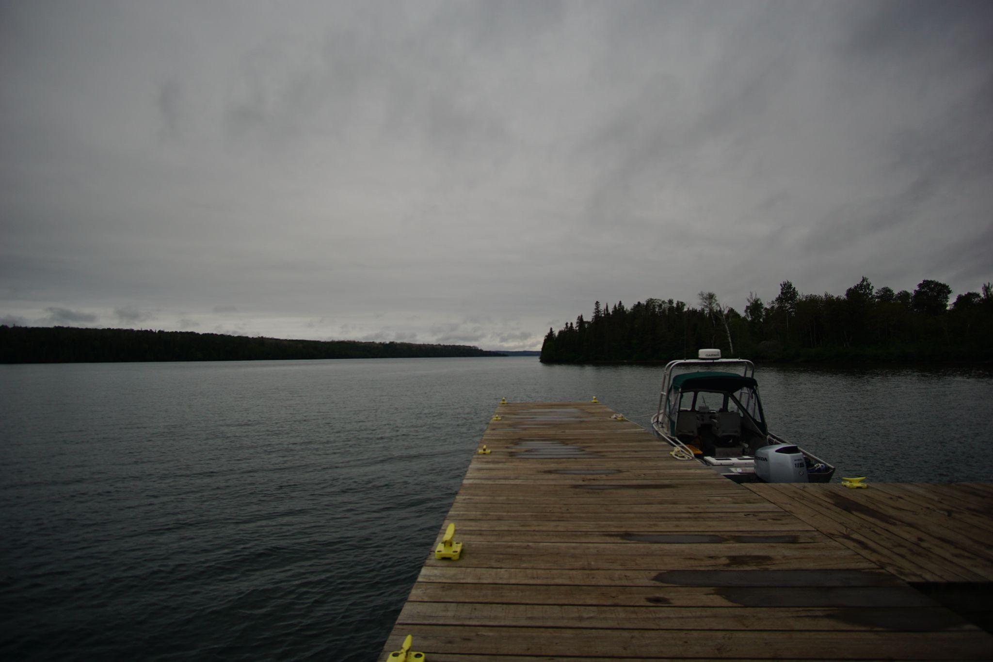
Sun Peeking Through
Day 5 - Daisy Farm to Scoville Point to Rock Harbor - Sunning
- From: Daisy Farm
- To: Rock Harbor
- Miles: 13.7
Mist enveloped our morning hike north. Midday the sky cleared to see turquoise waters on the Stoll Trail to Scoville Point. We watched the sunset over Todd Harbor seeing the moose swim between the islands.
Misty Morning
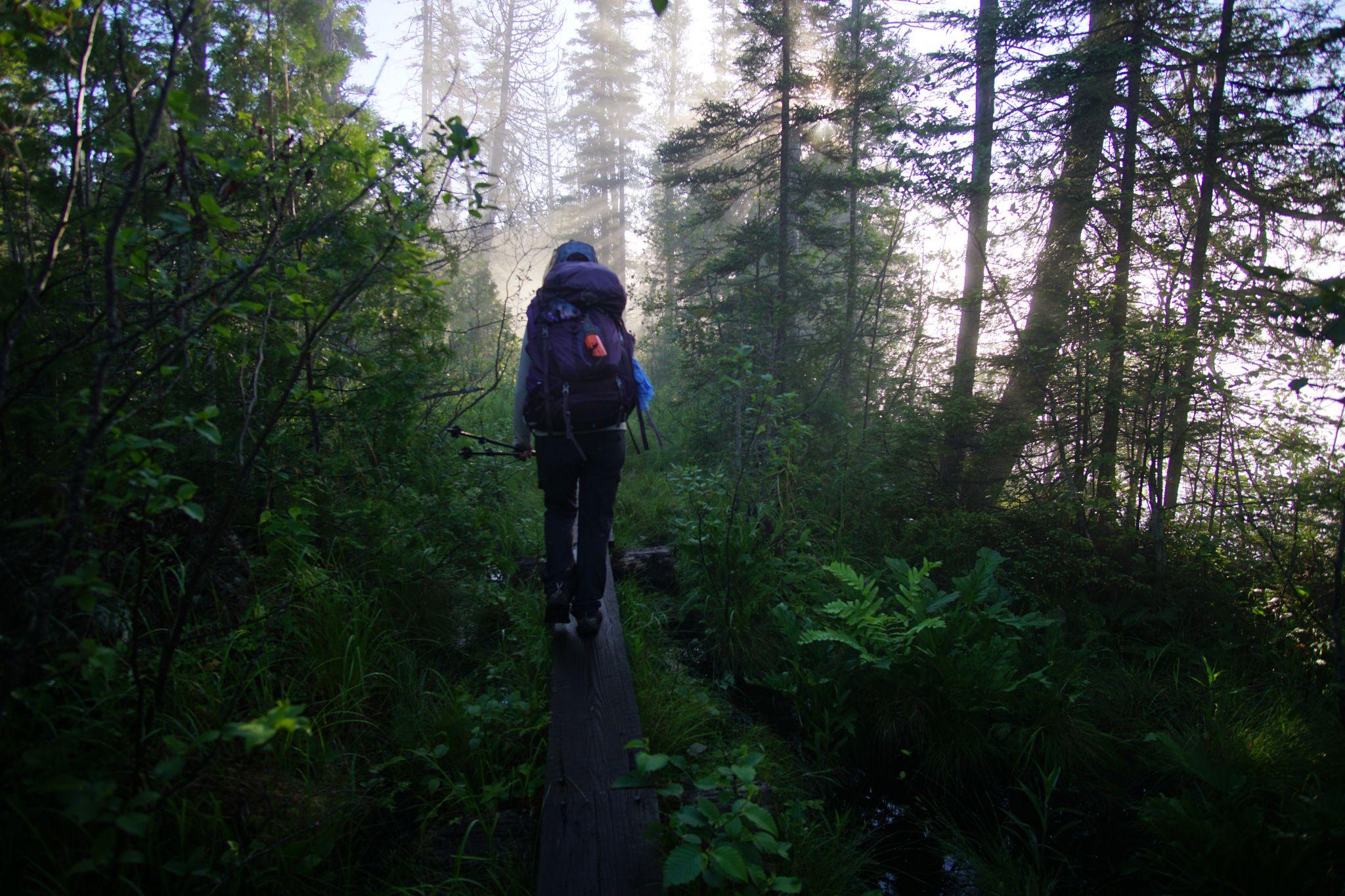
The mist enveloped the morning as we hiked through the damp foliage.
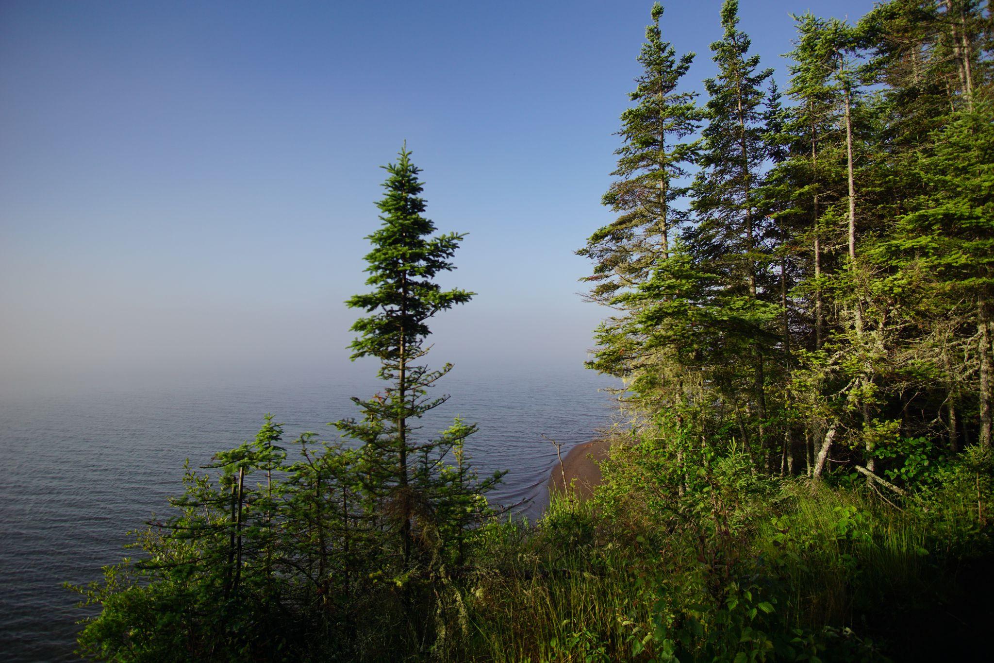
The mist began to pull back revealing the bay.
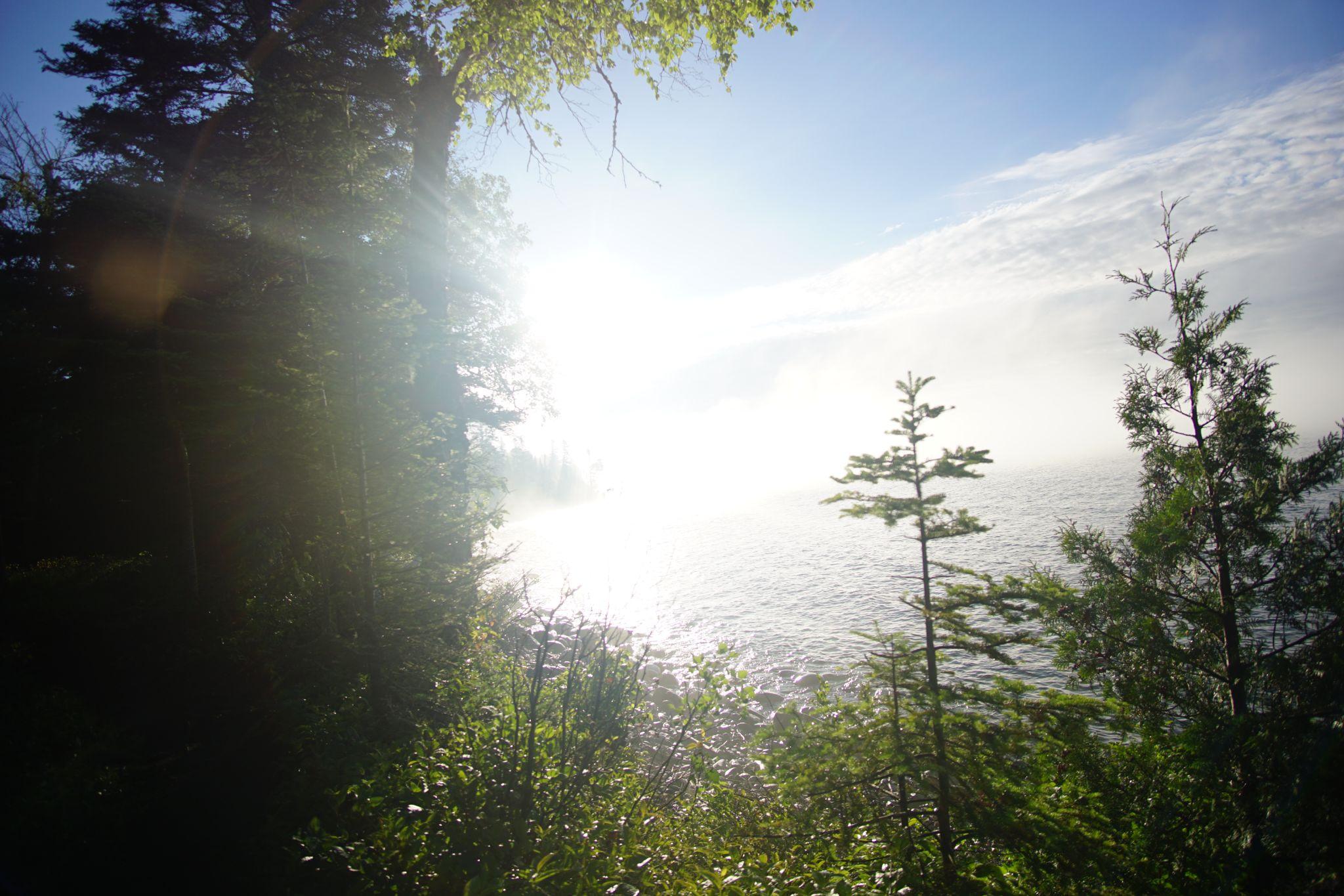
And after being gone for 36 hours, the sun returned in her glory.
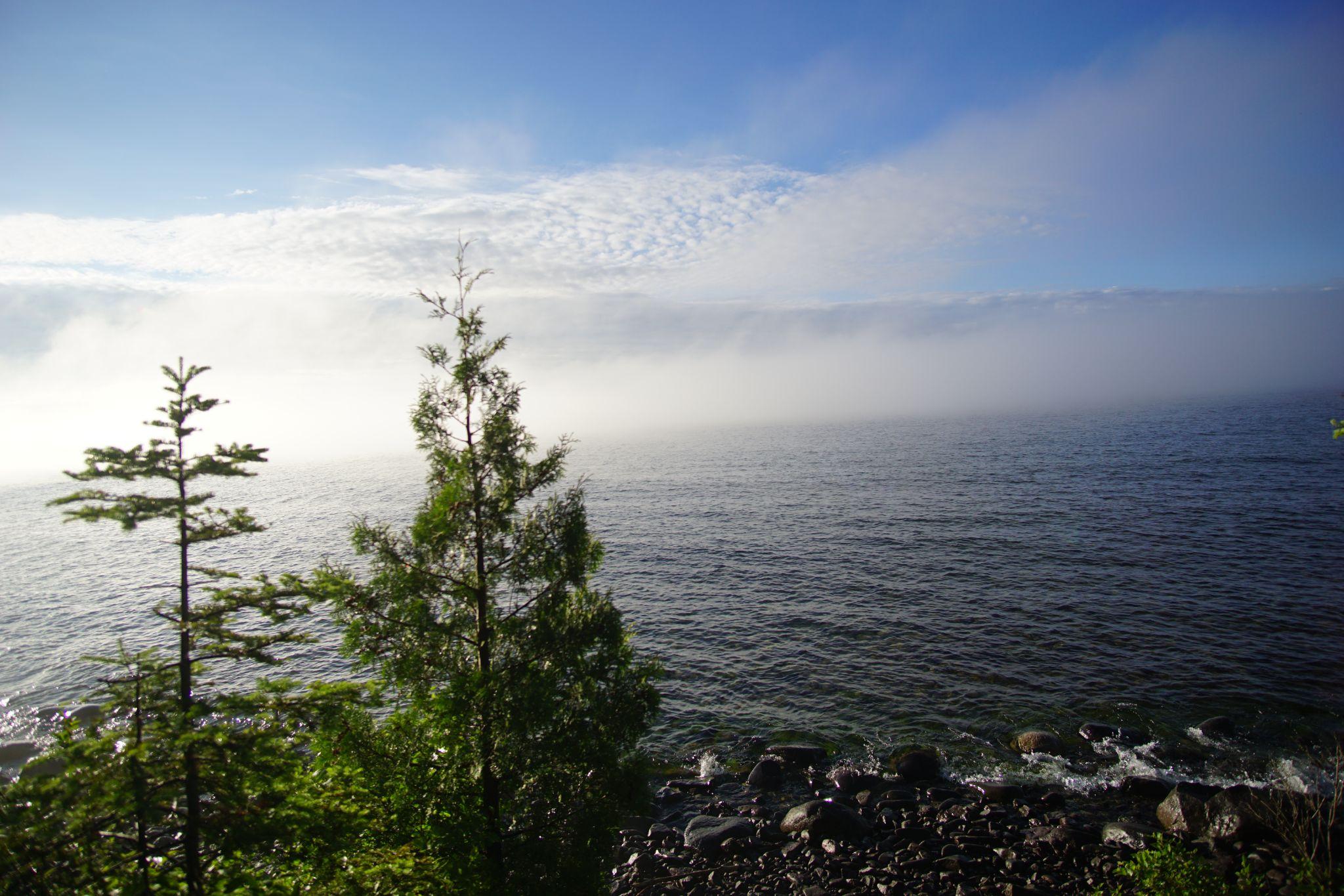
Sweeping away the mist.
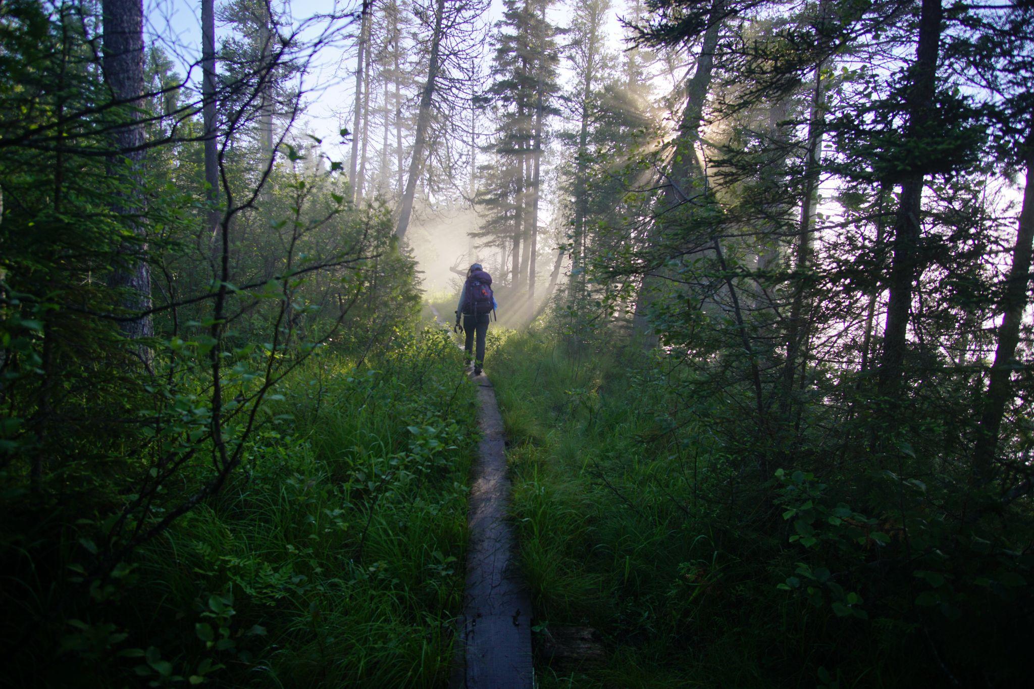
And shining on our remaining miles into Rock Harbor.
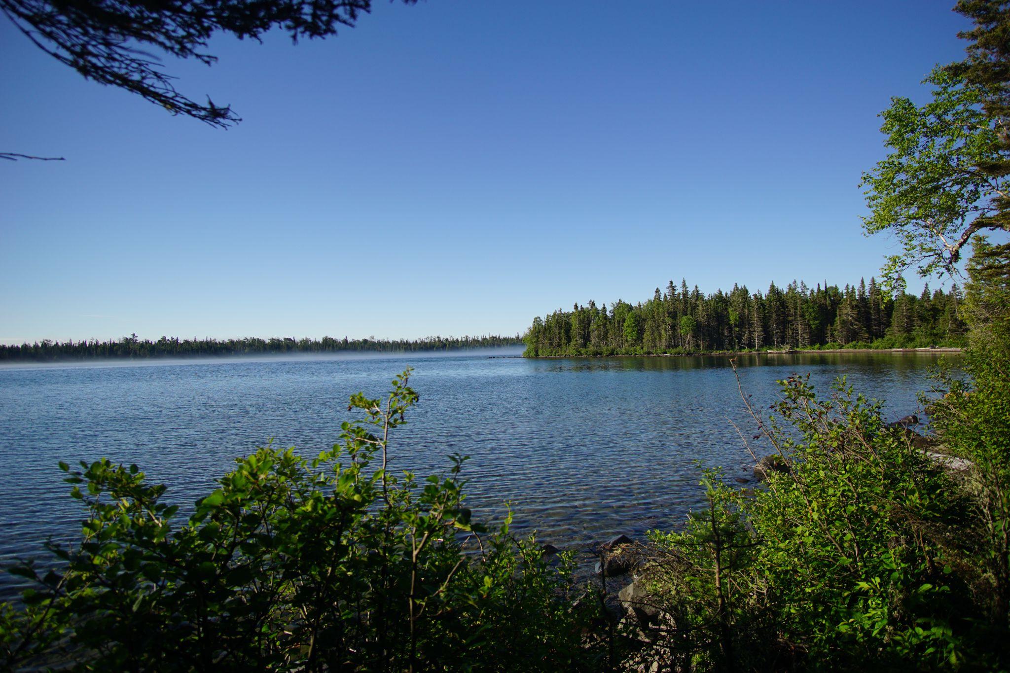
Arriving midday, we first set up camp, and this was the view from our final campsite.
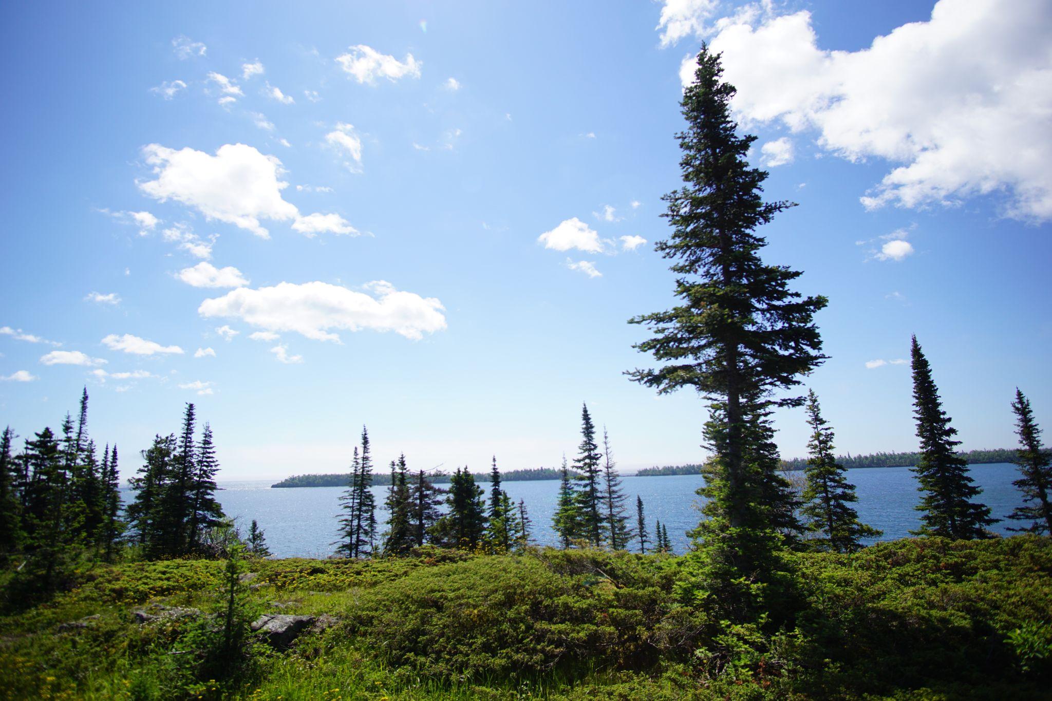
We hiked Scoville Trail looking out on the turquoise water - a stark change from 24 hours ago.
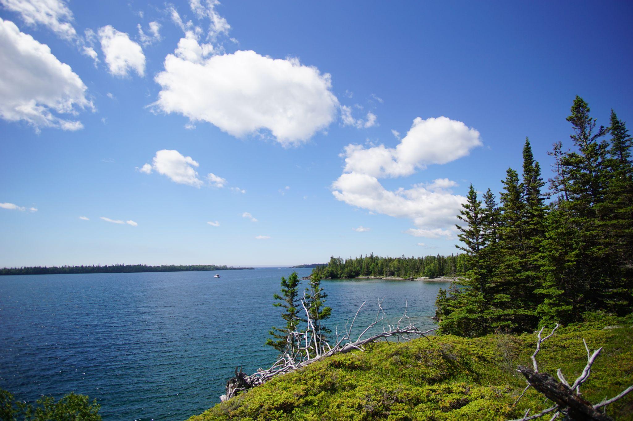
Stoll Trail
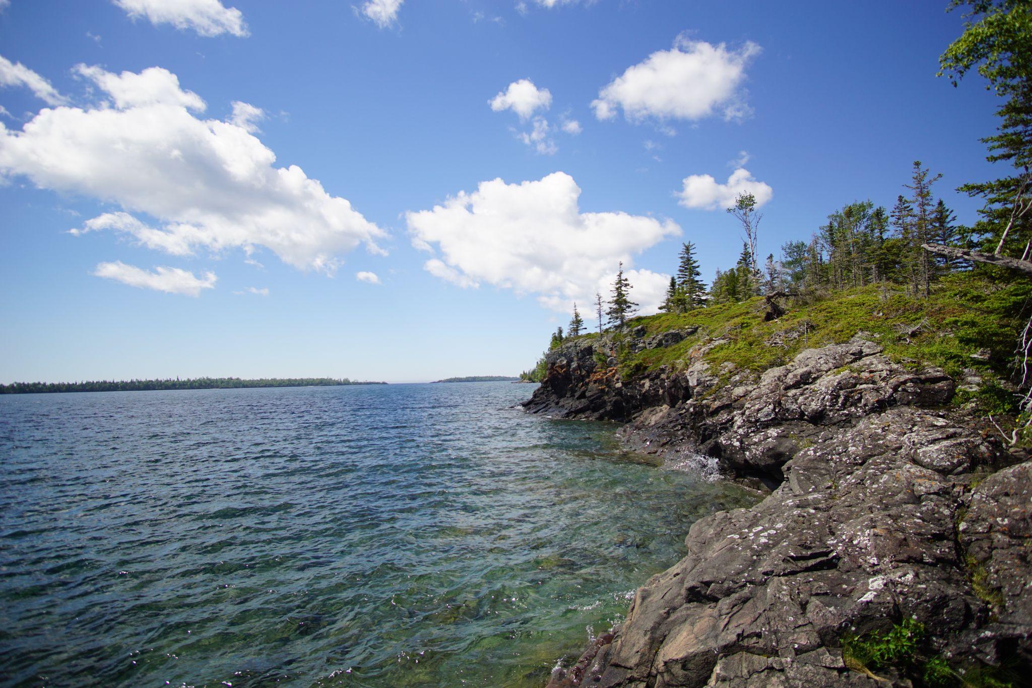
Coves for swimming in the brisk Superior.
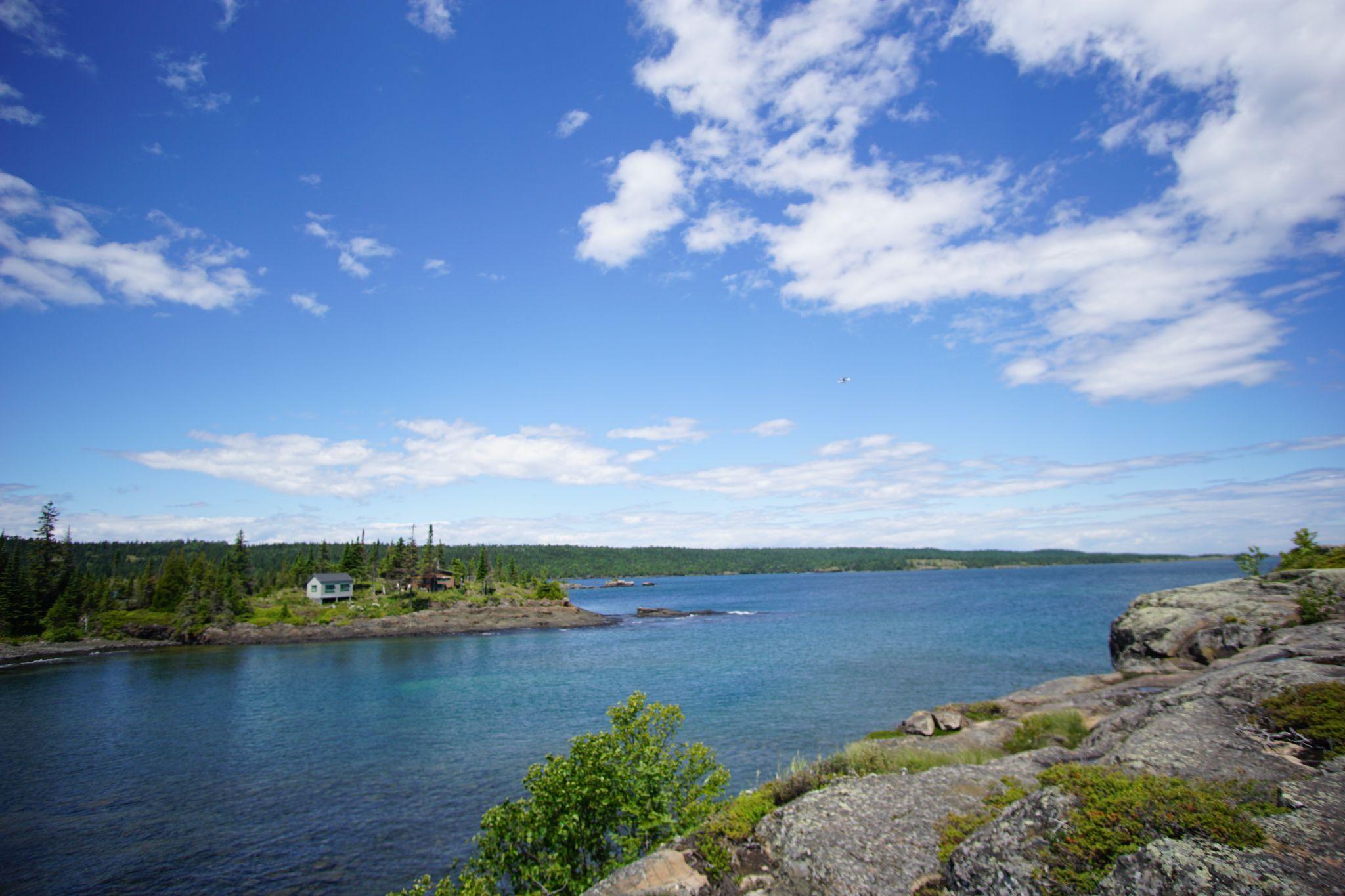
The very tip
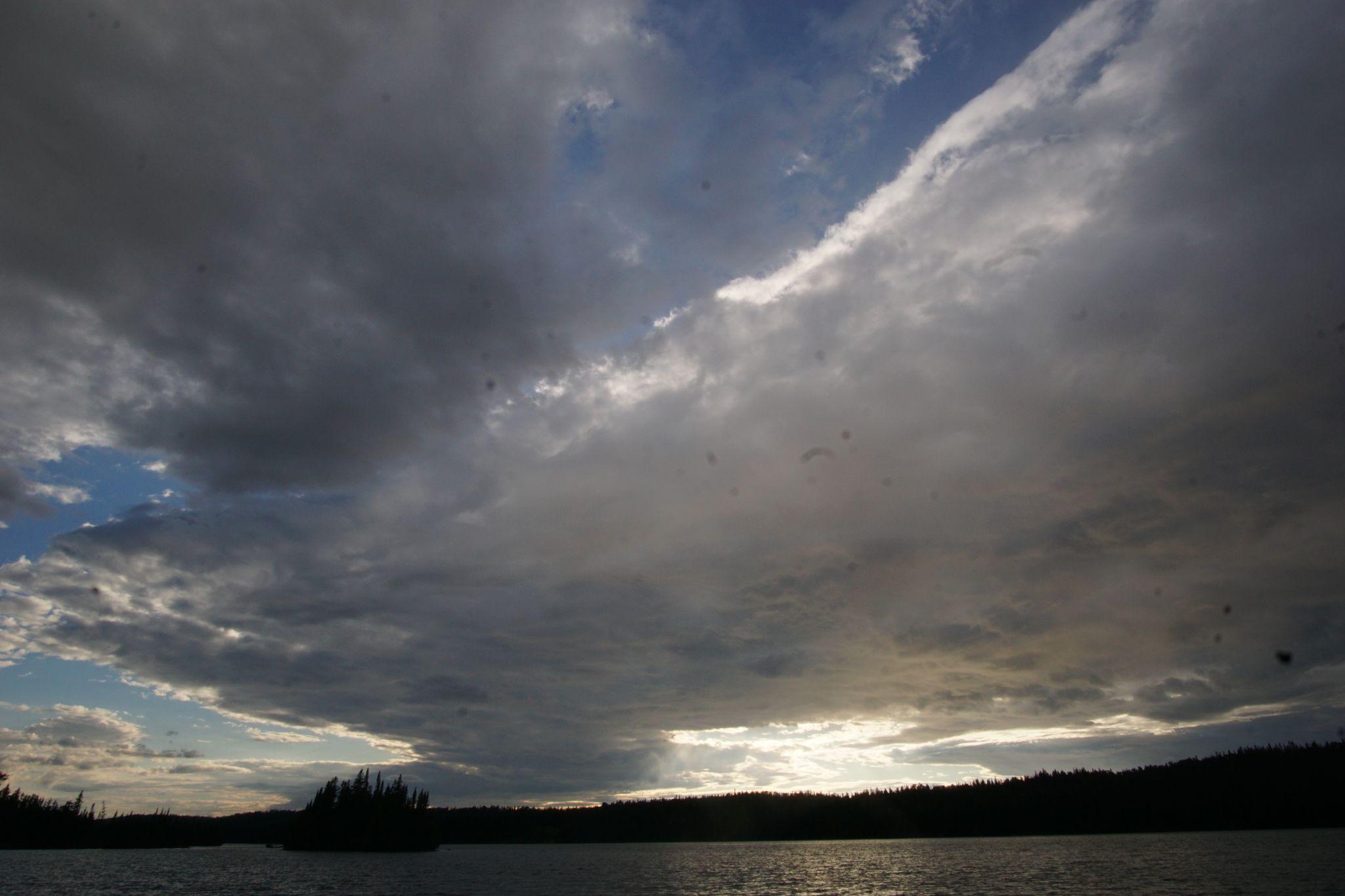
We returned to Tobin harbor for sunset as gigantic clouds hovered the bay.
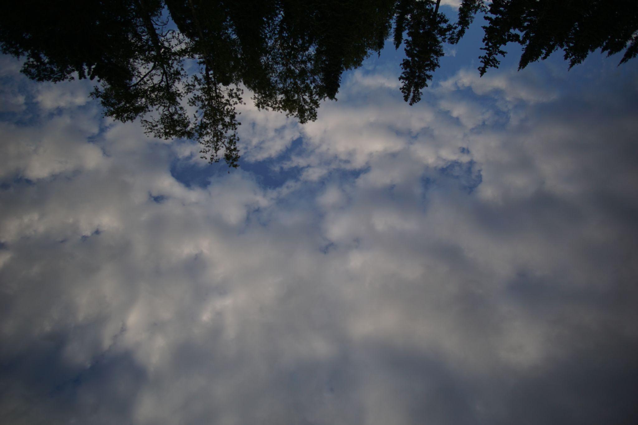
Clouds
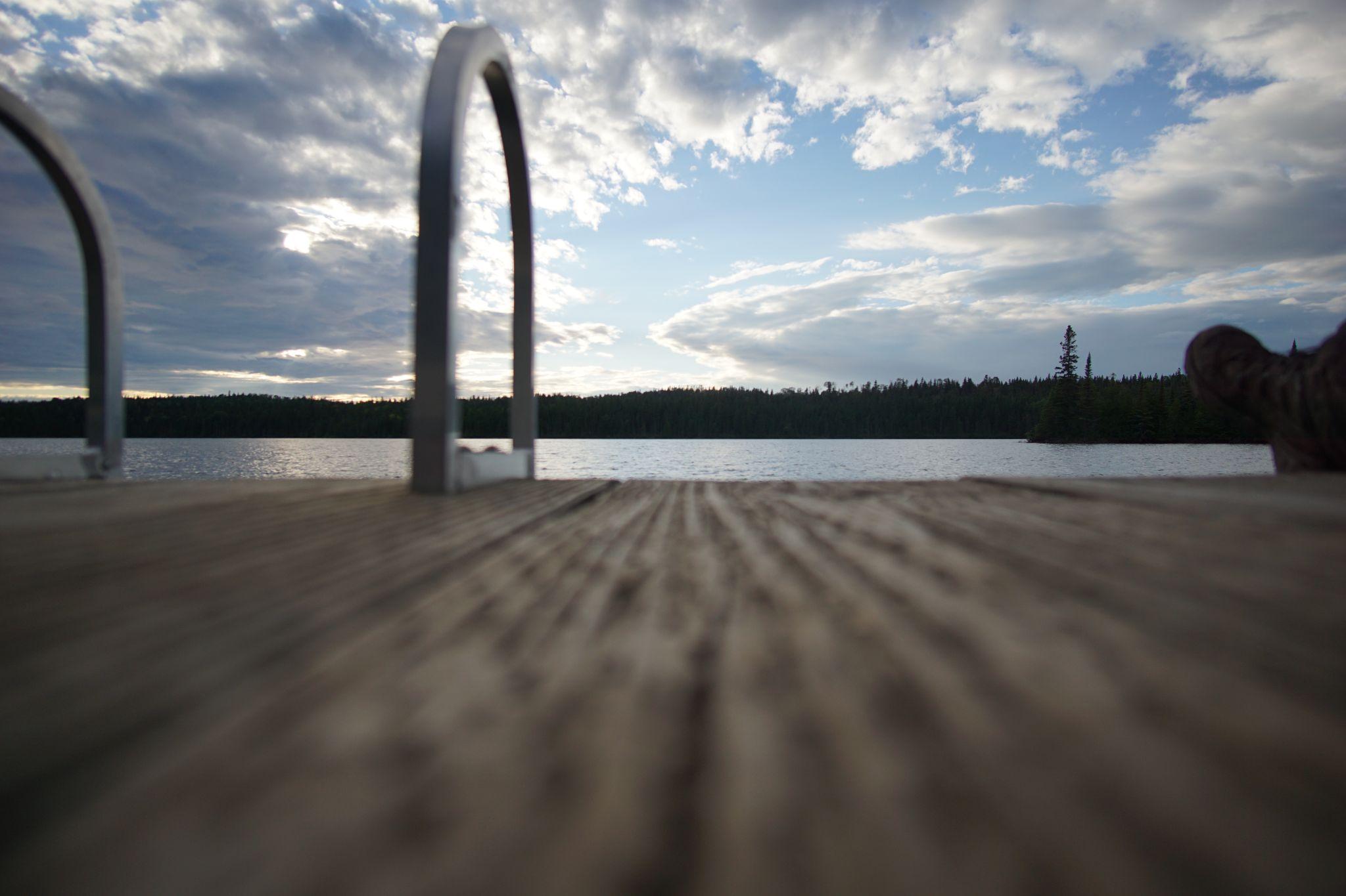
We came early to stretch and take in our final evening.
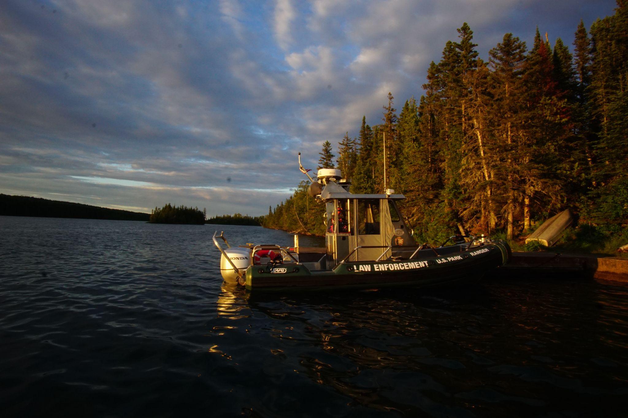
Moose enjoy swimming between the islands left of the boat.
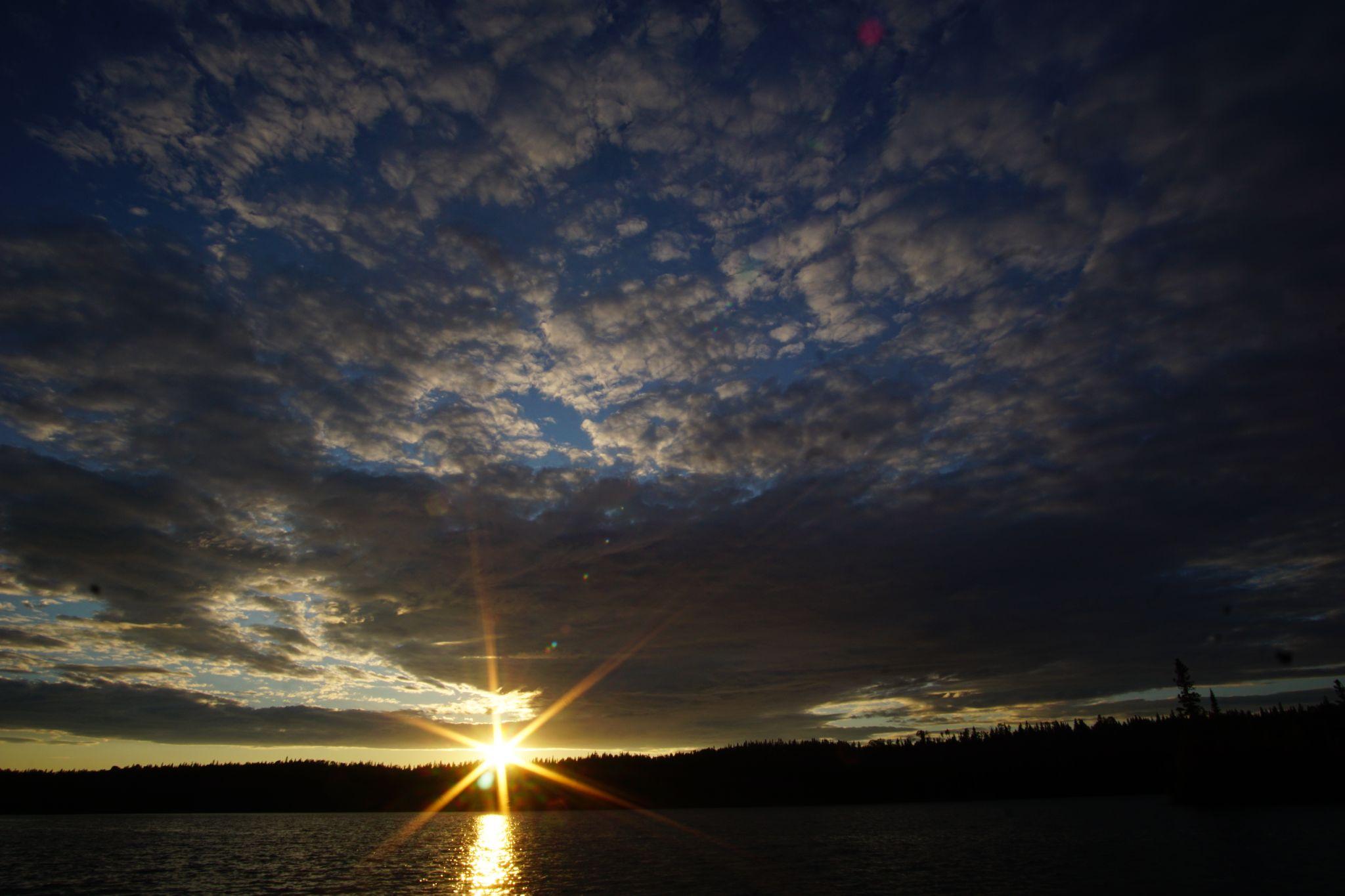
Sun just above the horizon.
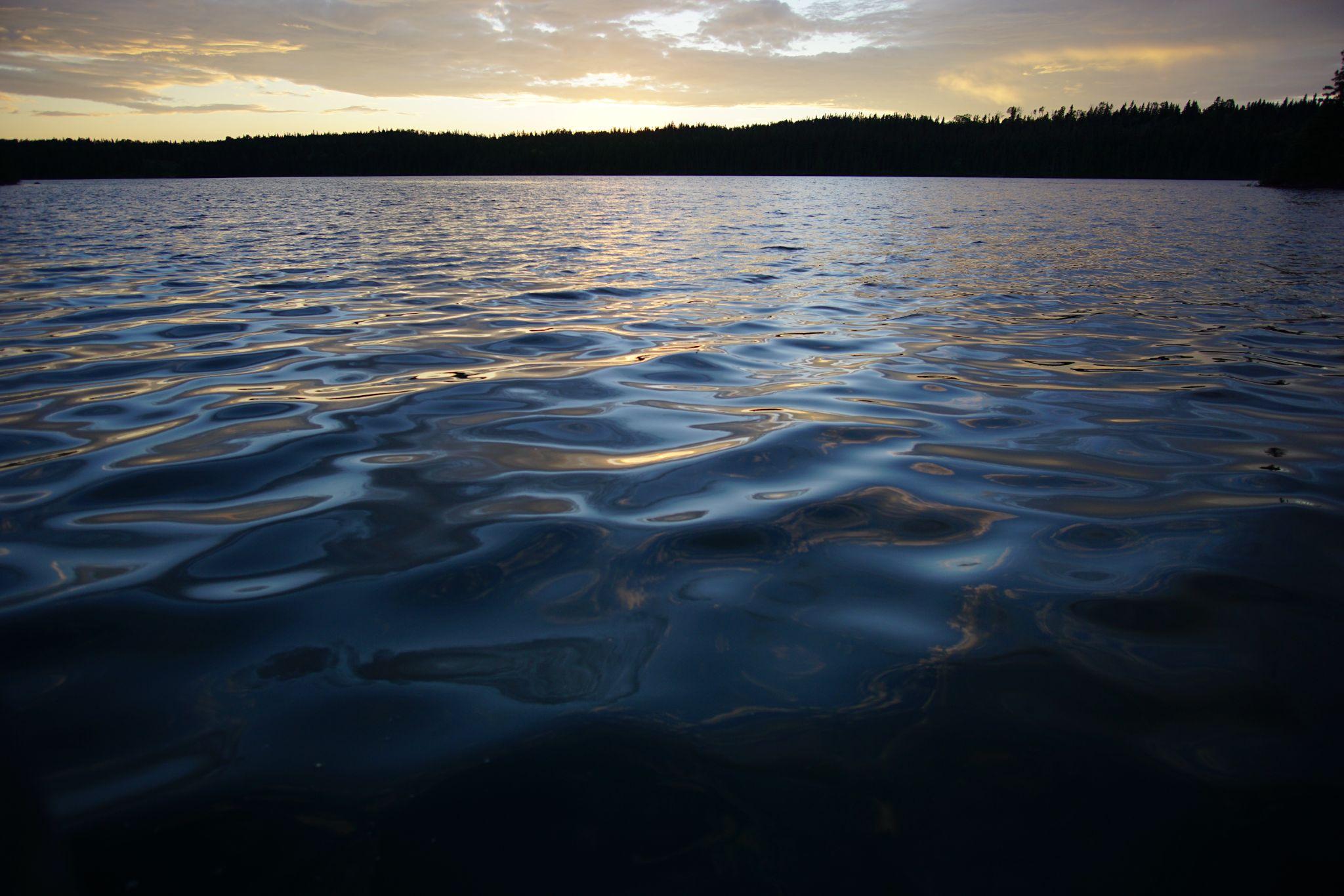
Water reflected the sun
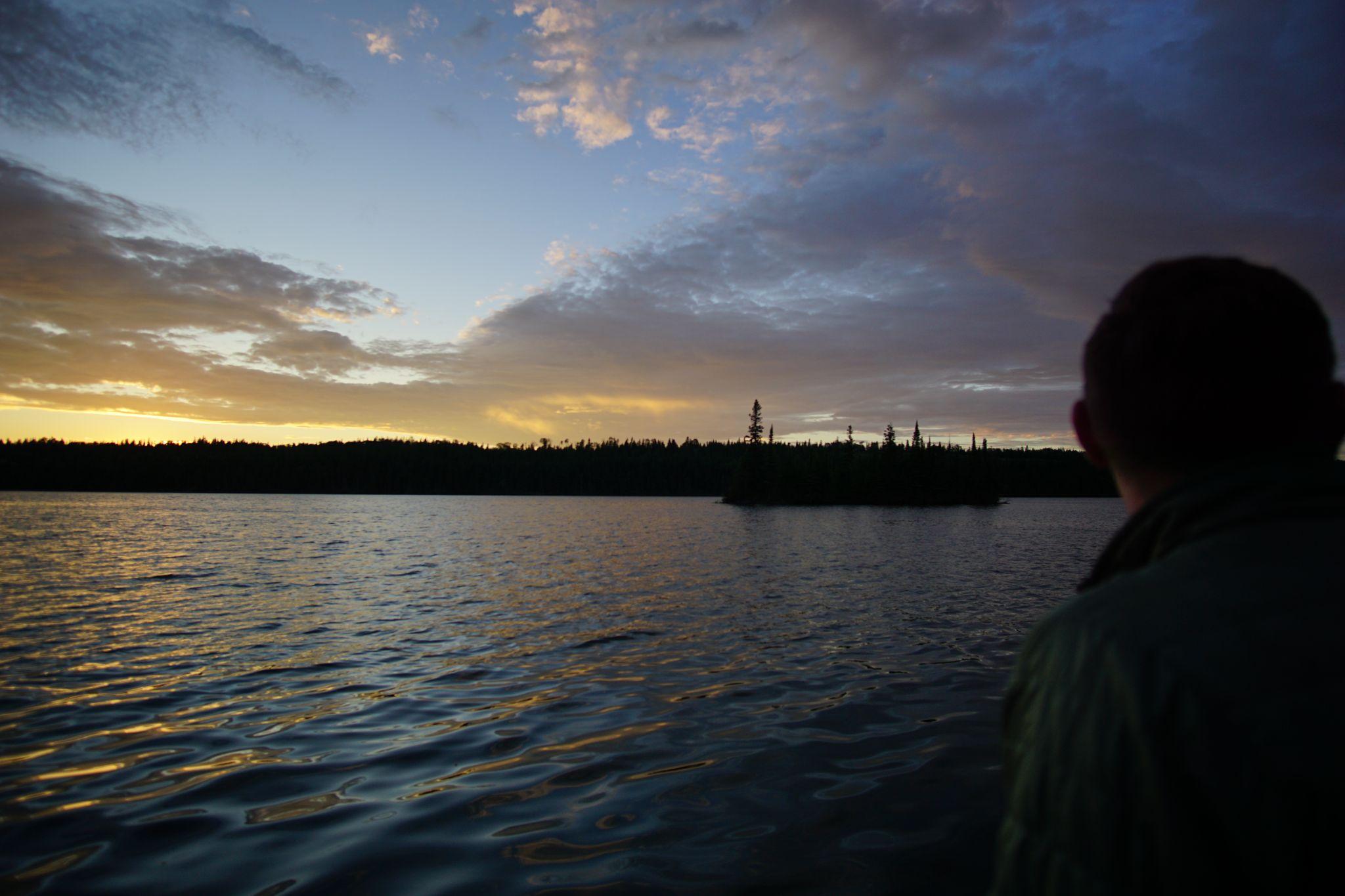
Enjoying our final night.
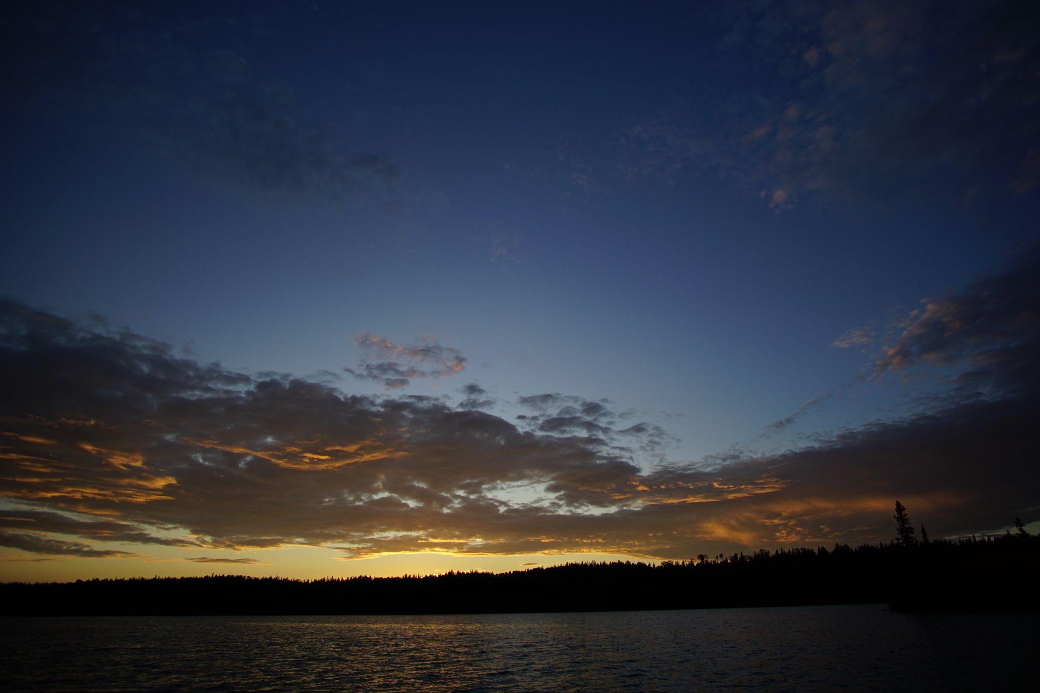
Afterglow
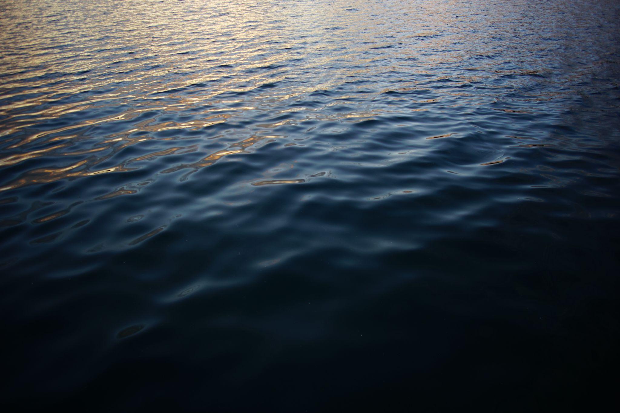
Water
Day 6 - Rock Harbor to Copper Harbor - Going
- From: Rock Harbor
- To: Copper Harbor
- Miles: 4.9
Our final day we woke early to wonderful mist, hiked the Stoll Trail, and boarded our ferry back to the mainland.
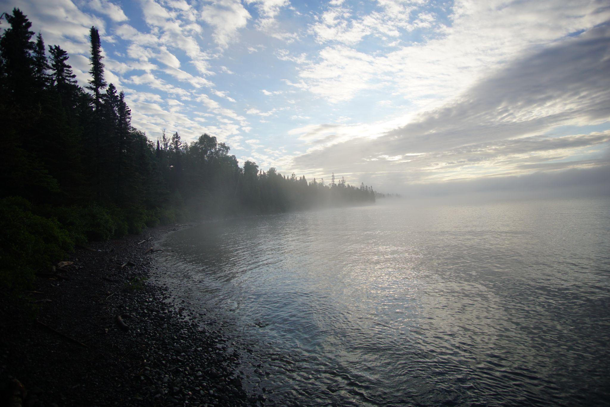
Misty morning
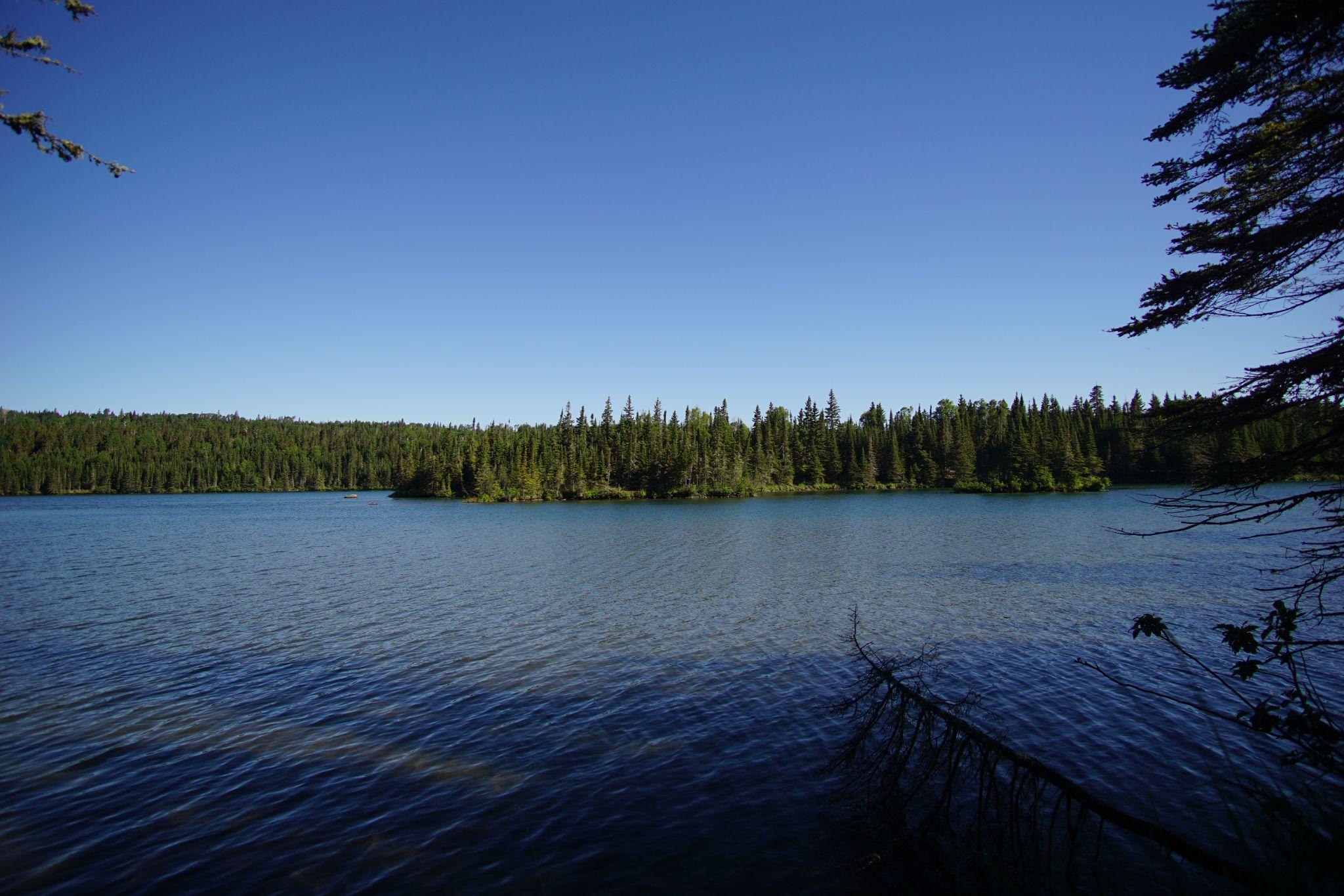
Tobin Harbor
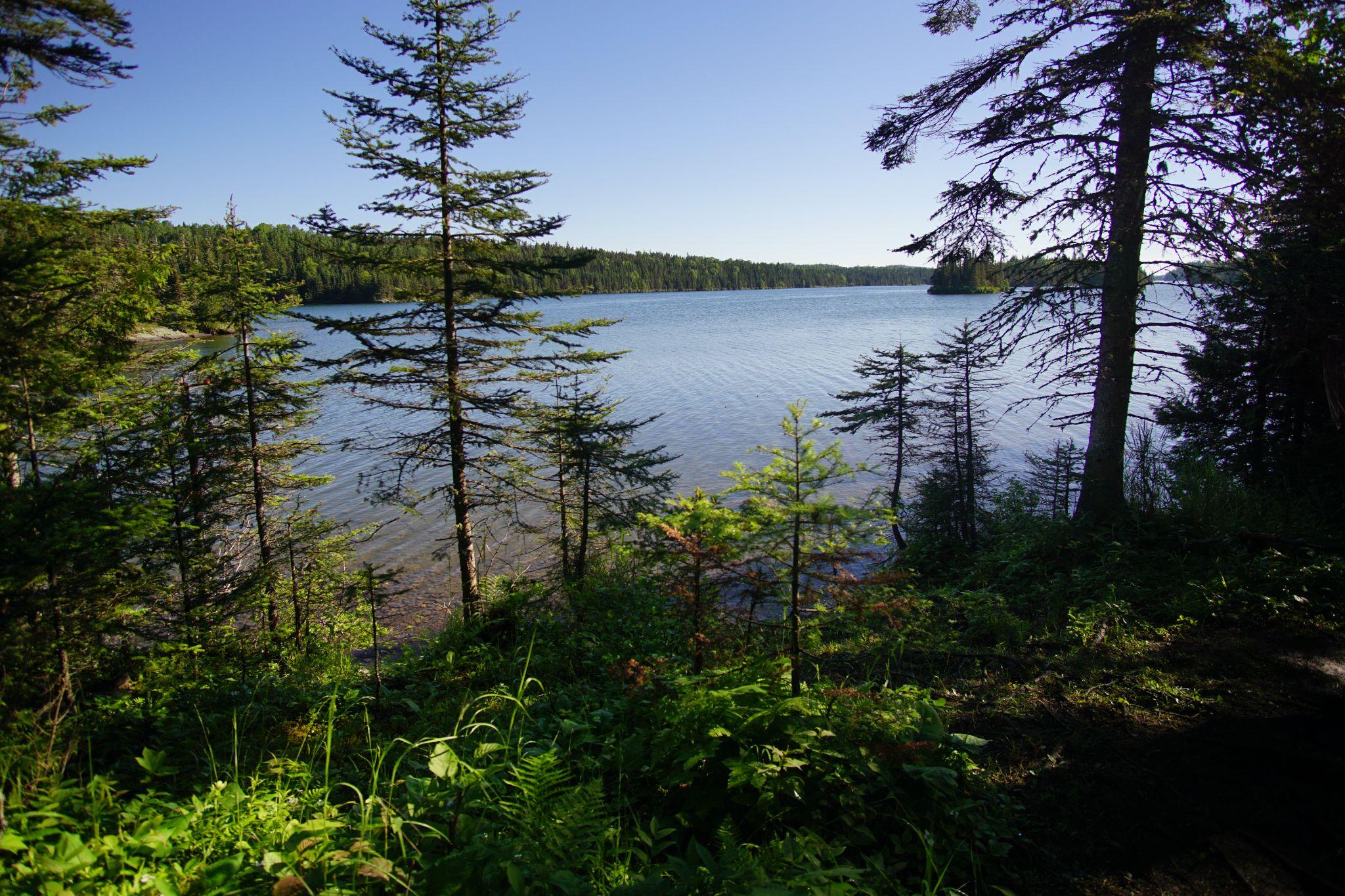
Another view of Tobin Harbor.
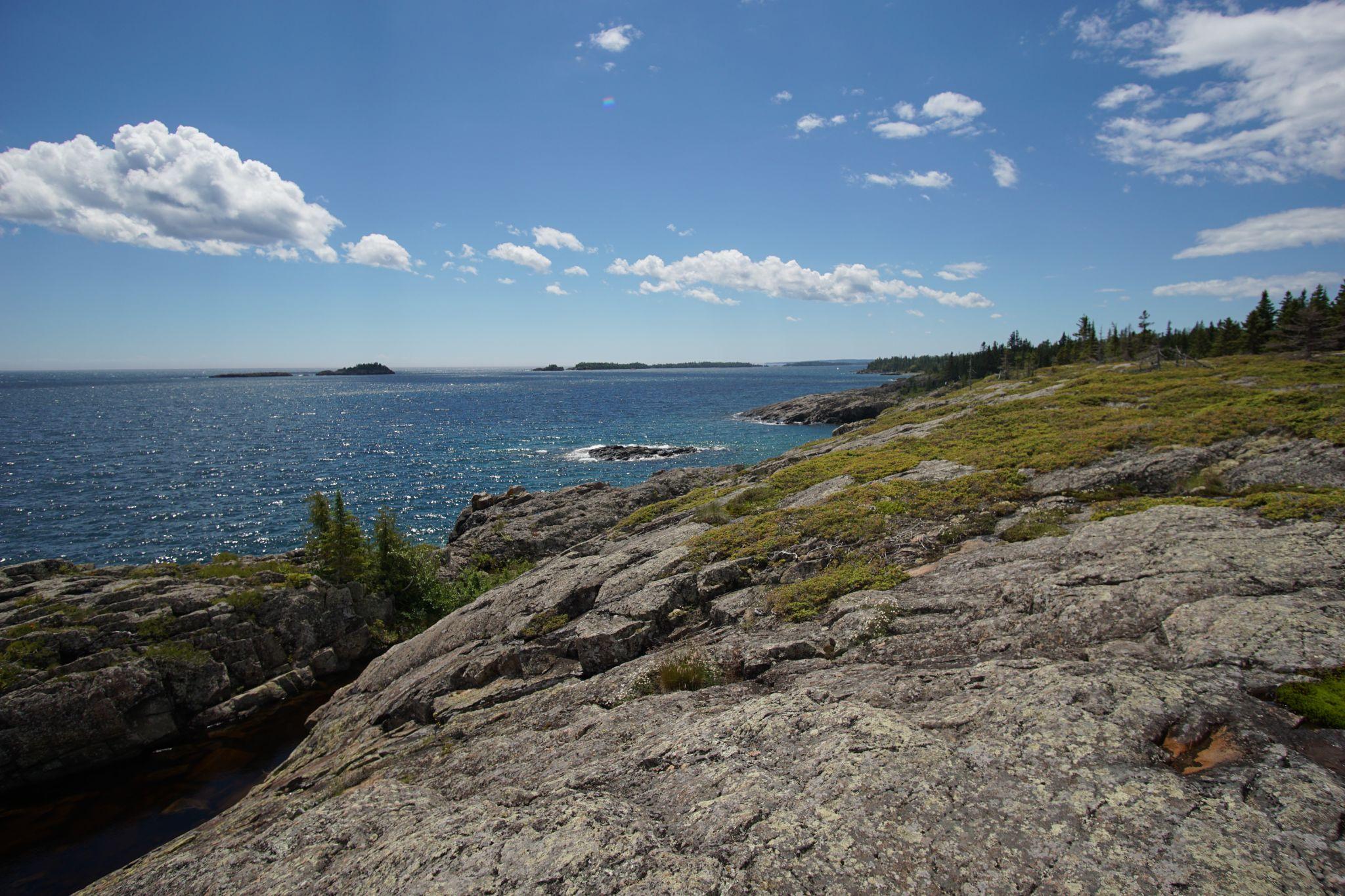
Stoll Trail
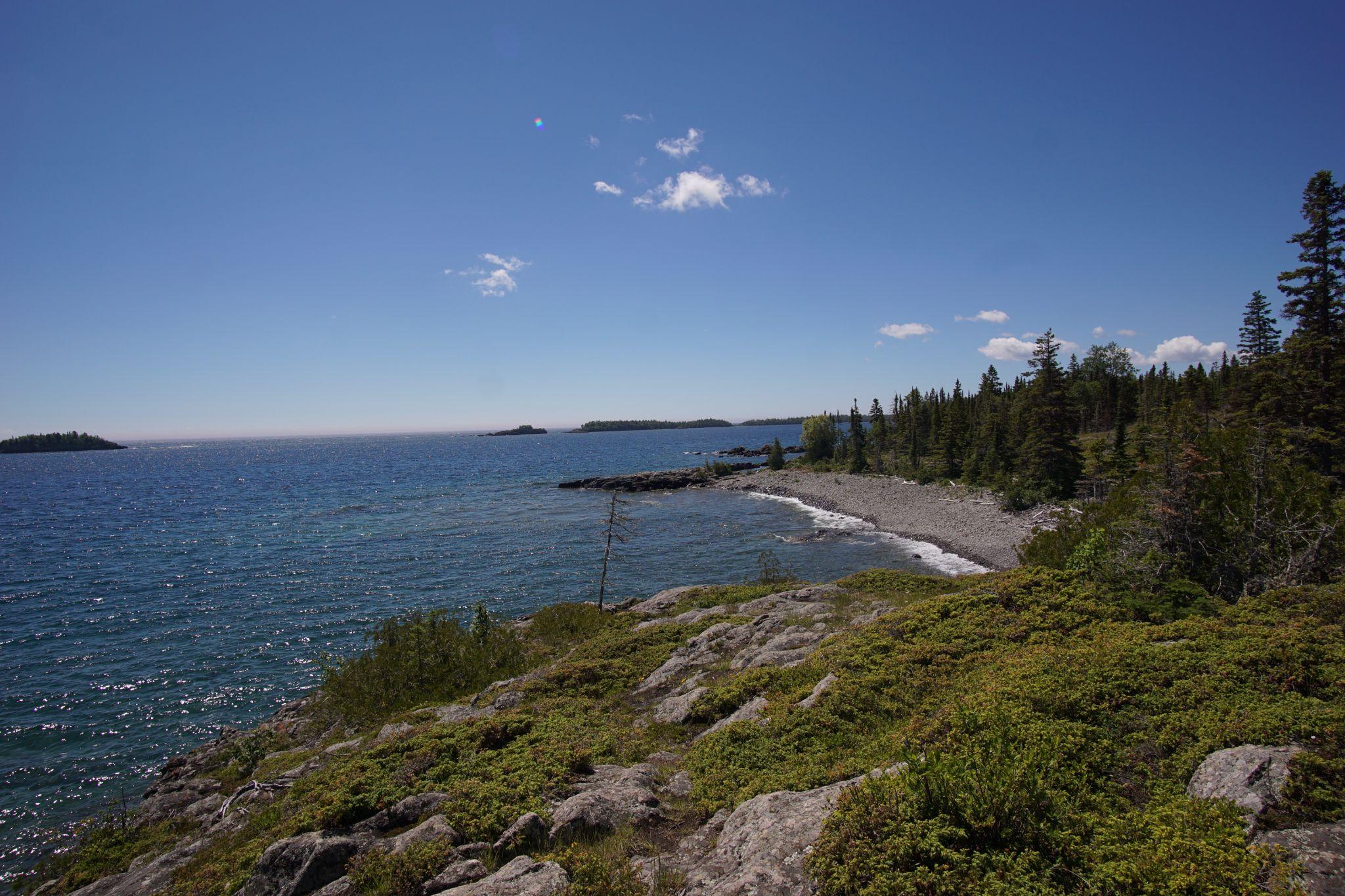
Shimmering water
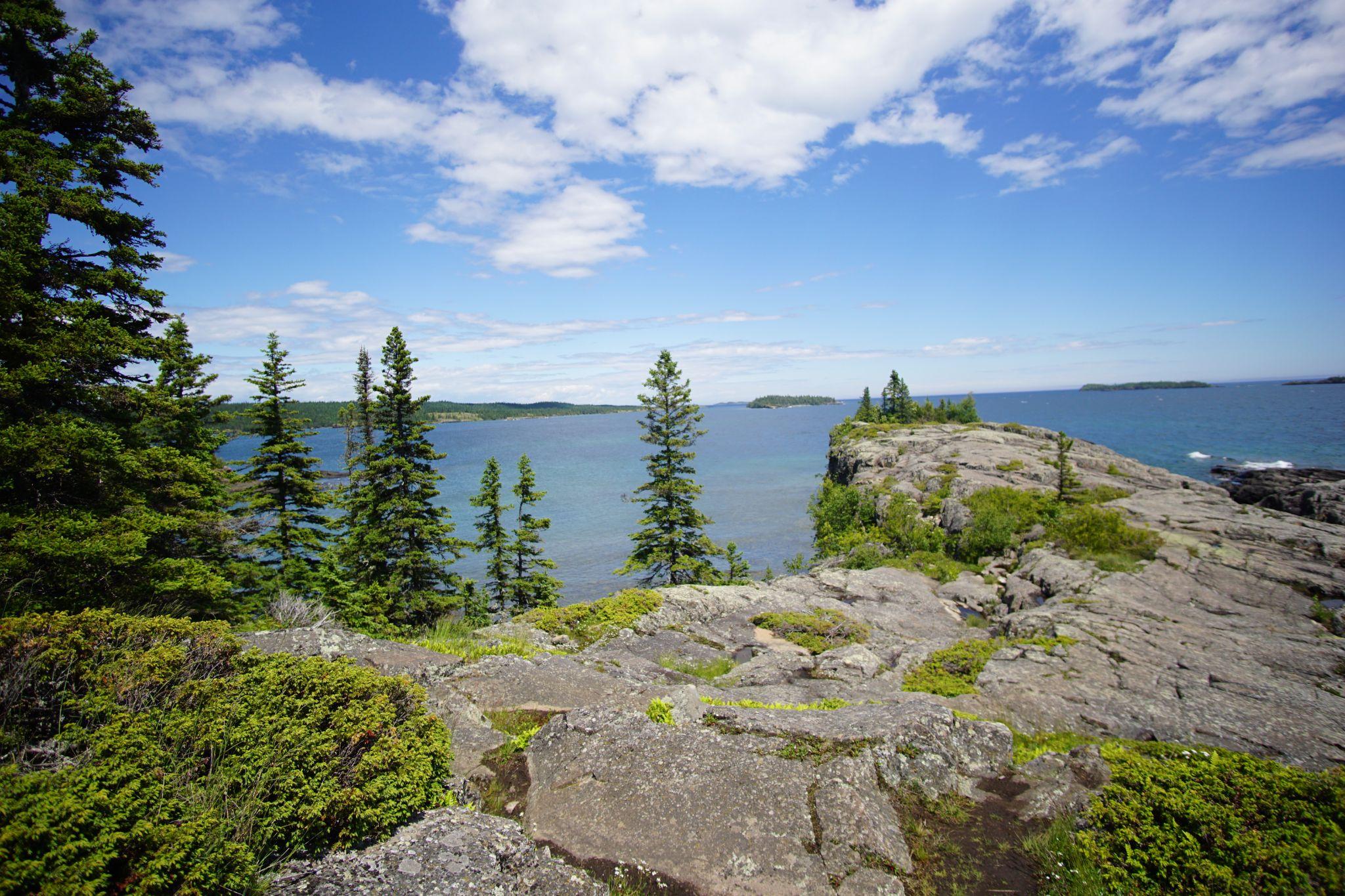
Scoville Point
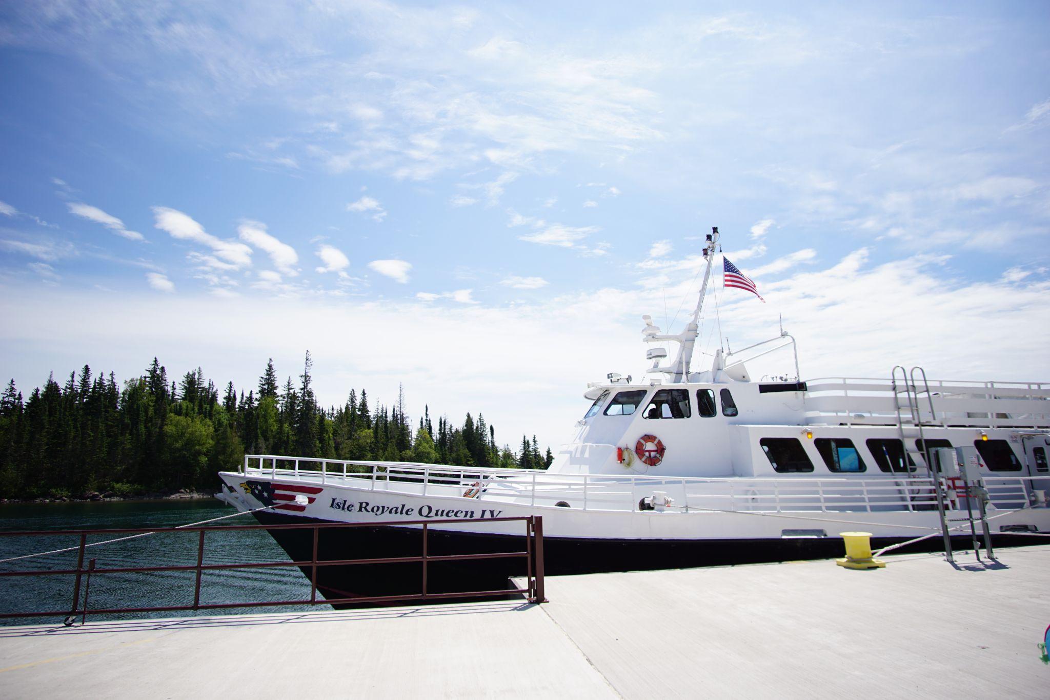
Isle Royale Queen IV - Coming Home
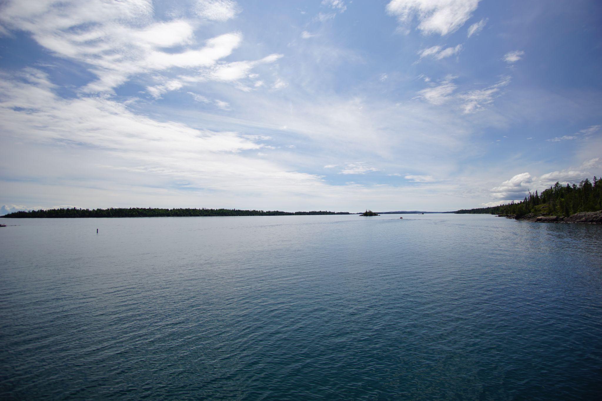
One last look at Rock Harbor
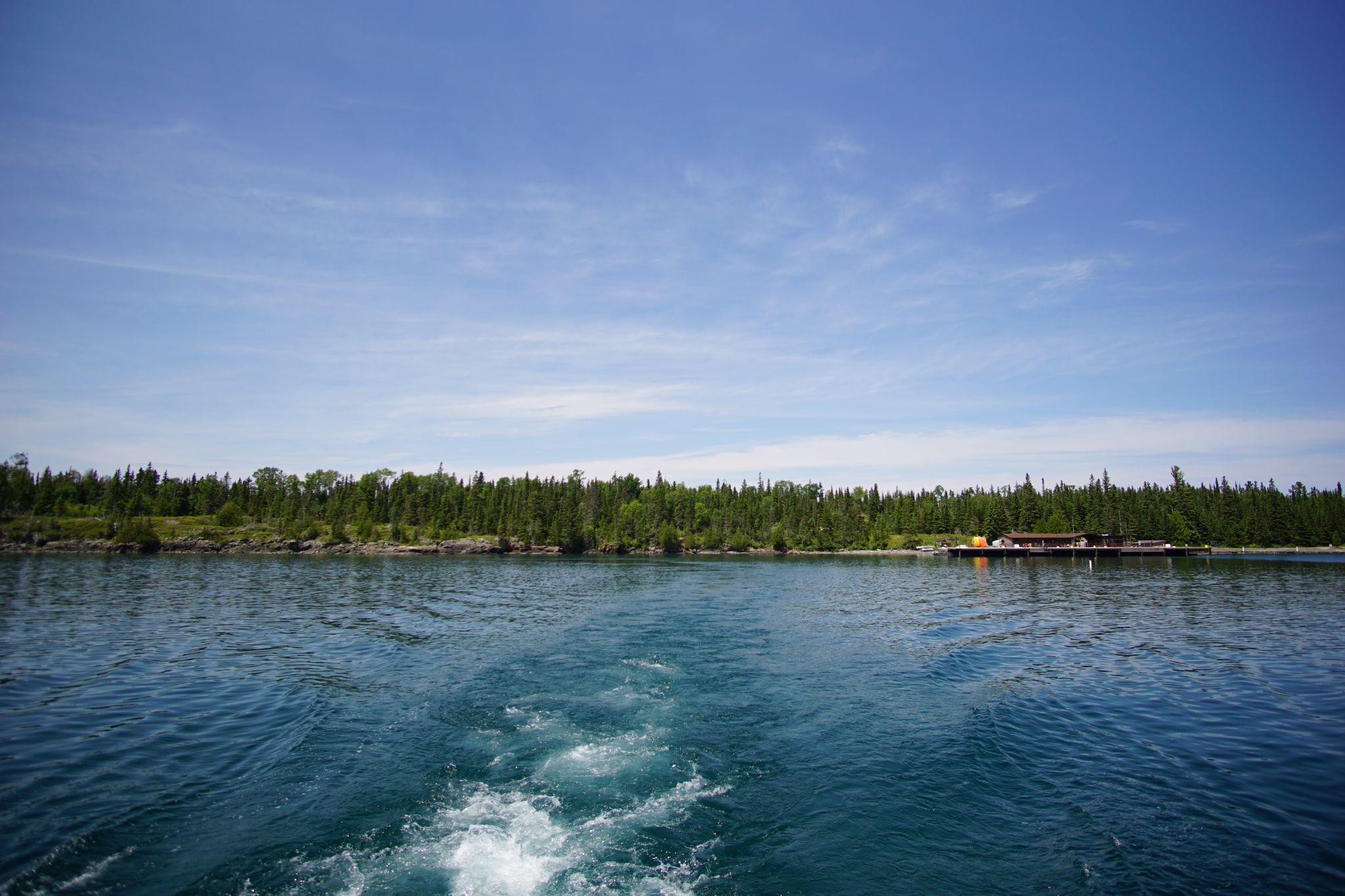
Leaving Isle Royale


